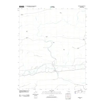
2010 Map of Honobia
USGS Topo · Published 2010About this map
The Kiamichi Mountains dominate this 2010 landscape, where narrow valleys and sharp ridges define the geography of southeastern Oklahoma. The terrain is marked by descriptive local landmarks such as Dutchman Ridge, Smith Ridge, and Gobblers Knob, suggesting a history of hunting and rural settlement. Waterways like Honobia Creek and the Little River wind through these highlands, carving out spaces like Deadman Hollow and Crane Hollow.
Find a feature on this map
27 named features on this map. Tap any name to fly to it.
Don’t see what you’re looking for? This feature index may not catch every label — zoom into the map to look around manually.
Map Details
Editions of this 2010 Honobia Map
This is the sole edition of this map. No revisions or reprints were ever made.
Other maps of this area

1900 · Winding Stair
USGS Topo · 1:125,000

1901 · Tuskahoma
USGS Topo · 1:125,000

1901 · Alikchi
USGS Topo · 1:125,000

1902 · Lukfata
USGS Topo · 1:125,000

1908 · Tuskahoma
USGS Topo · 1:125,000

1909 · Tuskahoma
USGS Topo · 1:125,000

1909 · Winding Stair
USGS Topo · 1:125,000

1950 · Mcalester
USGS Topo · 1:250,000

1960 · Bethel
USGS Topo · 1:62,500

1962 · McAlester
USGS Topo · 1:250,000