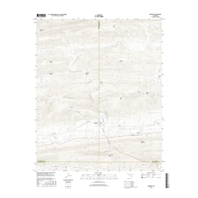
2016 Map of Honobia
USGS Topo · Published 2016About this map
Honobia serves as the central hub of this terrain-focused map, situated near the three-way intersection of Le Flore, Pushmataha, and McCurtain counties. The landscape is defined by the high ridgelines of the Kiamichi Mountains and Boktuklo Mountains, which hem in a valley system carved by the Little River and Honobia Creek. Local history and genealogy are preserved in sites like Rock Creek Cem and Spring Hill Cem, which sit alongside a network of rural routes such as the Indian Hwy and Honobia Loop. The nomenclature across this area reflects its geographic character, featuring names like Deadman Hollow and Wildhorse Mtn. Small drainage features, including Fisher Br and Uphill Cr, illustrate the complex watershed that flows toward the Little River at the base of Wolf Ridge.
Find a feature on this map
38 named features on this map. Tap any name to fly to it.
Don’t see what you’re looking for? This feature index may not catch every label — zoom into the map to look around manually.
Map Details
Editions of this 2016 Honobia Map
This is the sole edition of this map. No revisions or reprints were ever made.
Other maps of this area

1900 · Winding Stair
USGS Topo · 1:125,000

1901 · Tuskahoma
USGS Topo · 1:125,000

1901 · Alikchi
USGS Topo · 1:125,000

1902 · Lukfata
USGS Topo · 1:125,000

1908 · Tuskahoma
USGS Topo · 1:125,000

1909 · Tuskahoma
USGS Topo · 1:125,000

1909 · Winding Stair
USGS Topo · 1:125,000

1950 · Mcalester
USGS Topo · 1:250,000

1960 · Bethel
USGS Topo · 1:62,500

1962 · McAlester
USGS Topo · 1:250,000