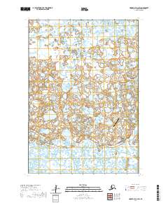
2020 Map of Hooper Bay C-2 SW
USGS Topo · Published 2020About this map
Chevak serves as the central hub of this remote wetland landscape, situated at the intersection of local transportation routes like Embankment Road and Airport Road. The map documents the community's essential infrastructure, including the Chevak Airport and the local Po. The surrounding terrain is a complex network of tundra waterways, dominated by the winding paths of the Ninglikfak River, Kweecharak River, and Komoiarak Slough.
Find a feature on this map
17 named features on this map. Tap any name to fly to it.
Don’t see what you’re looking for? This feature index may not catch every label — zoom into the map to look around manually.
Map Details
Editions of this 2020 Hooper Bay C-2 SW Map
This is the sole edition of this map. No revisions or reprints were ever made.
Other maps of this area

1951 · Hooper Bay
USGS Topo · 1:250,000
1952 · Hooper Bay B-3
USGS Topo · 1:63,360

1952 · Hooper Bay C-3
USGS Topo · 1:63,360

1953 · Hooper Bay
USGS Topo · 1:250,000
1953 · Hooper Bay B-2
USGS Topo · 1:63,360

1953 · Hooper Bay C-2
USGS Topo · 1:63,360

1964 · Hooper Bay
USGS Topo · 1:250,000
2020 · Hooper Bay C-3 NE
USGS Topo · 1:25,000
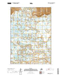
2020 · Hooper Bay C-2 NE
USGS Topo · 1:25,000
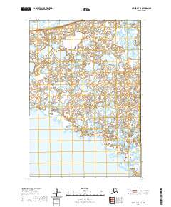
2020 · Hooper Bay C-3 SE
USGS Topo · 1:25,000