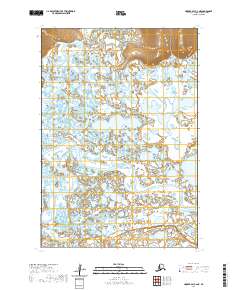
2020 Map of Hooper Bay C-2 NE
USGS Topo · Published 2020About this map
Kokechik River meanders across this low-lying coastal plain in the Kusilvak Census Area, defining a landscape dominated by complex hydrological patterns. This modern survey illustrates the intricate network of wetlands and tidal channels typical of the Yukon-Kuskokwim Delta region. The Kuttak River flows through the northern reaches, while the Chelungivik River enters the frame from the southeast, revealing how these waterways shift and branch through the flat terrain. Unlike many inland Alaskan maps, this sheet is notable for its lack of terrestrial infrastructure, highlighting an environment where movement and life are dictated entirely by the water and the seasons. The contour lines indicate slight elevations that separate the myriad small lakes and ponds, providing a precise look at the hydrology of the Hooper Bay vicinity as it existed in the early 21st century.
Find a feature on this map
7 named features on this map. Tap any name to fly to it.
Don’t see what you’re looking for? This feature index may not catch every label — zoom into the map to look around manually.
Map Details
Editions of this 2020 Hooper Bay C-2 NE Map
This is the sole edition of this map. No revisions or reprints were ever made.
Other maps of this area

1951 · Hooper Bay
USGS Topo · 1:250,000
1952 · Hooper Bay D-1
USGS Topo · 1:63,360
1952 · Hooper Bay C-1
USGS Topo · 1:63,360

1952 · Hooper Bay D-2
USGS Topo · 1:63,360

1953 · Hooper Bay
USGS Topo · 1:250,000

1953 · Hooper Bay C-2
USGS Topo · 1:63,360

1964 · Hooper Bay
USGS Topo · 1:250,000
2020 · Hooper Bay D-1 SW
USGS Topo · 1:25,000
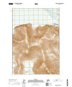
2020 · Hooper Bay D-2 SW
USGS Topo · 1:25,000
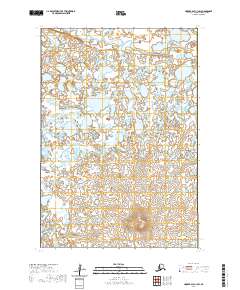
2020 · Hooper Bay C-1 SW
USGS Topo · 1:25,000