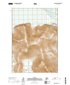
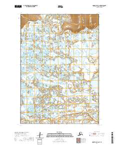
2020 Map of Hooper Bay D-2 SW
USGS Topo · Published 2020About this map
Scammon Bay sits at the northern edge of the Askinuk Mountains along the coastline of the Scammon Bay inlet. The settlement's infrastructure includes the Scammon Bay Airport and local landmarks such as the Scammon Bay Cem, while Hillside Street provides a glimpse into the local road network. The surrounding landscape is defined by its transition from high coastal peaks near Point Dyer to the intricate tidal flats and waterways of the Kun River and Kolomak River. This coastal environment in the Kusilvak Census Area shows a concentrated village layout positioned between the mountains and the sea, where maritime access and aviation are central to local transport. Further south, the map illustrates the lower reaches of the Kongishluk Bay and the drainage patterns that flow through the western edge of the mountain range.
Find a feature on this map
17 named features on this map. Tap any name to fly to it.
Don’t see what you’re looking for? This feature index may not catch every label — zoom into the map to look around manually.
Map Details
Editions of this 2020 Hooper Bay D-2 SW Map
This is the sole edition of this map. No revisions or reprints were ever made.
Other maps of this area

1951 · Hooper Bay
USGS Topo · 1:250,000

1952 · Hooper Bay C-3
USGS Topo · 1:63,360

1952 · Hooper Bay D-2
USGS Topo · 1:63,360

1953 · Hooper Bay
USGS Topo · 1:250,000

1953 · Hooper Bay C-2
USGS Topo · 1:63,360
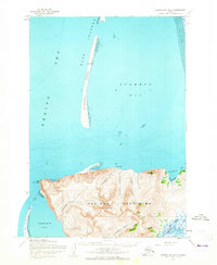
1953 · Hooper Bay D-3
USGS Topo · 1:63,360

1964 · Hooper Bay
USGS Topo · 1:250,000
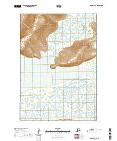
2020 · Hooper Bay C-3 NE
USGS Topo · 1:25,000
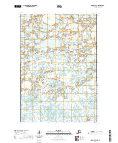
2020 · Hooper Bay D-2 NE
USGS Topo · 1:25,000
2020 · Hooper Bay C-2 NE
USGS Topo · 1:25,000