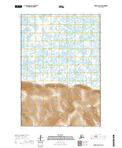
2020 Map of Hooper Bay D-1 SW
USGS Topo · Published 2020About this map
The Askinuk Mountains dominate the southern half of this coastal Alaskan landscape, rising sharply from a complex network of low-lying wetlands and meandering waterways. This transition from high elevation to tidal river plains is defined by the winding paths of the Kun River and the Kikneak River, which snake through the northern tundra before reaching the Bering Sea coast.
Find a feature on this map
10 named features on this map. Tap any name to fly to it.
Don’t see what you’re looking for? This feature index may not catch every label — zoom into the map to look around manually.
Map Details
Editions of this 2020 Hooper Bay D-1 SW Map
This is the sole edition of this map. No revisions or reprints were ever made.
Other maps of this area

1951 · Hooper Bay
USGS Topo · 1:250,000
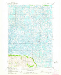
1952 · Hooper Bay D-1
USGS Topo · 1:63,360
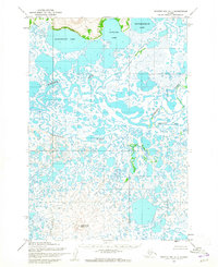
1952 · Hooper Bay C-1
USGS Topo · 1:63,360

1952 · Hooper Bay D-2
USGS Topo · 1:63,360

1953 · Hooper Bay
USGS Topo · 1:250,000

1953 · Hooper Bay C-2
USGS Topo · 1:63,360

1964 · Hooper Bay
USGS Topo · 1:250,000
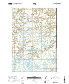
2020 · Hooper Bay D-2 NE
USGS Topo · 1:25,000
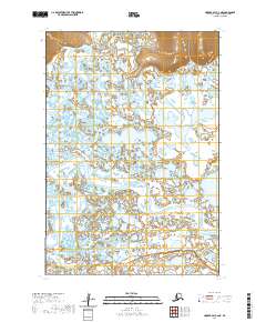
2020 · Hooper Bay C-2 NE
USGS Topo · 1:25,000
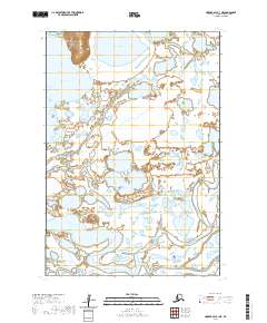
2020 · Hooper Bay C-1 NE
USGS Topo · 1:25,000