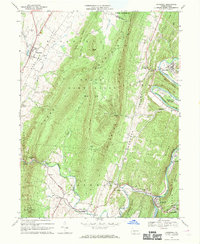
1968 Map of Hopewell
USGS Topo · Published 1970About this map
The Raystown Branch Juniata River snakes through the deep valleys of Bedford County, anchoring a landscape of industrial hamlets and mountain ridges in the late 1960s. The village of Hopewell serves as a southern hub, joined by Stonerstown and Riddlesburg along the riverbanks, where the tracks of the H & B T M RR follow the water's edge. This transit corridor contrasts with the high, wooded solitude of Tussey Mountain and Warrior Ridge, which dominate the central terrain.
Find a feature on this map
73 named features on this map. Tap any name to fly to it.
Don’t see what you’re looking for? This feature index may not catch every label — zoom into the map to look around manually.
Map Details
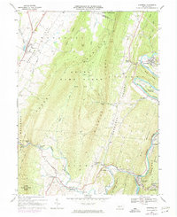
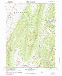
Editions of this 1968 Hopewell Map
Other maps of this area

1900 · Everett
USGS Topo · 1:62,500

1901 · Huntingdon
USGS Topo · 1:62,500

1902 · Everett
USGS Topo · 1:62,500

1902 · Hollidaysburg
USGS Topo · 1:62,500

1903 · Hollidaysburg
USGS Topo · 1:62,500

1904 · Huntingdon
USGS Topo · 1:62,500

1930 · Broad Top
USGS Topo · 1:62,500

1933 · Broad Top
USGS Topo · 1:62,500

1953 · Pittsburgh
USGS Topo · 1:250,000

1954 · Pittsburgh
USGS Topo · 1:250,000
Featured Places
- Woodbury, PA
- Hopewell, PA
- Yellow Creek, Hopewell Township
- Woodbury Township, PA
- Cottles Corner, Hopewell Township