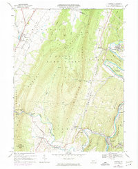
1968 Map of Hopewell
USGS Topo · Published 1974About this map
The Raystown Branch Juniata River carves a significant path through the eastern portion of this landscape, anchoring the settlement of Hopewell and the adjacent industrial site at Langdondale. This 1960s terrain, revised in the early 1970s, reveals a distinct geographic pattern where narrow agricultural valleys like Morrison Cove and Woodcock Valley are separated by the formidable ridges of Tussey Mountain and Warrior Ridge. Large tracts of the upland terrain are preserved within State Game Lands No 73, indicating the area's transition from early industrial extraction to conservation and recreation.
Find a feature on this map
56 named features on this map. Tap any name to fly to it.
Don’t see what you’re looking for? This feature index may not catch every label — zoom into the map to look around manually.
Map Details
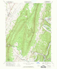
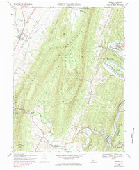
Editions of this 1968 Hopewell Map
Other maps of this area

1900 · Everett
USGS Topo · 1:62,500

1901 · Huntingdon
USGS Topo · 1:62,500

1902 · Everett
USGS Topo · 1:62,500

1902 · Hollidaysburg
USGS Topo · 1:62,500

1903 · Hollidaysburg
USGS Topo · 1:62,500

1904 · Huntingdon
USGS Topo · 1:62,500

1930 · Broad Top
USGS Topo · 1:62,500

1933 · Broad Top
USGS Topo · 1:62,500

1953 · Pittsburgh
USGS Topo · 1:250,000

1954 · Pittsburgh
USGS Topo · 1:250,000
Featured Places
- Woodbury, PA
- Hopewell, PA
- Yellow Creek, Hopewell Township
- Woodbury Township, PA
- Cottles Corner, Hopewell Township