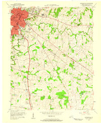
1956 Map of Hopkinsville
USGS Topo · Published 1958About this map
Hopkinsville serves as the bustling Christian County seat in the mid-1950s, its urban grid and industrial presence anchored by the Louisville and Nashville and Tennessee Central railroads. The town's social and educational landscape is clearly marked by Bethel College and several local institutions like Morningside Sch and the High Sch, while the sprawling grounds of the Western State Hospital dominate the area to the east.
Find a feature on this map
30 named features on this map. Tap any name to fly to it.
Don’t see what you’re looking for? This feature index may not catch every label — zoom into the map to look around manually.
Map Details
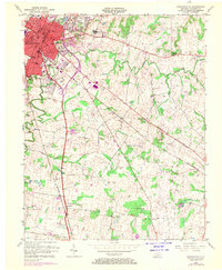
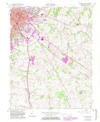
Editions of this 1956 Hopkinsville Map
3 editions found
Other maps of this area

1944 · Clarksville
USGS Topo · 1:50,000

1950 · Pembroke
USGS Topo · 1:24,000

1951 · Pembroke
USGS Topo · 1:24,000

1951 · Church Hill
USGS Topo · 1:24,000

1951 · Hopkinsville
USGS Topo · 1:24,000

1951 · Hammacksville
USGS Topo · 1:24,000

1951 · Herndon
USGS Topo · 1:24,000

1951 · Oak Grove
USGS Topo · 1:24,000

1952 · Pleasant Green Hill
USGS Topo · 1:24,000

1952 · Kelly
USGS Topo · 1:24,000