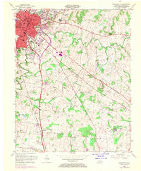
1956 Map of Hopkinsville
USGS Topo · Published 1970About this map
Hopkinsville serves as the focal point of this Christian County landscape, captured during a period of infrastructure expansion in the mid-20th century. The city's eastern edge is defined by the Tennessee Central Railway and the newly etched path of the Pennyrile Parkway, which slices through the undulating terrain near Canton Heights and Morningside. To the north, the sprawling grounds of the Western State Hospital and Gainsville mark the transition from the urban core to the surrounding farmland. The map reveals a high density of civic and educational institutions, including Bethel College, High Sch, and numerous rural sanctuaries like Locust Grove Ch and Big Walnut Grove Ch. The winding course of the Little River and its South Fork provides a natural counterpoint to the growing transportation corridors, anchoring several small rural communities and family-named landmarks.
Find a feature on this map
31 named features on this map. Tap any name to fly to it.
Don’t see what you’re looking for? This feature index may not catch every label — zoom into the map to look around manually.
Map Details
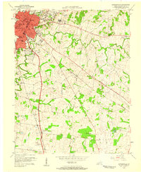
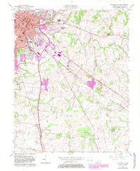
Editions of this 1956 Hopkinsville Map
3 editions found
Other maps of this area

1944 · Clarksville
USGS Topo · 1:50,000

1950 · Pembroke
USGS Topo · 1:24,000

1951 · Pembroke
USGS Topo · 1:24,000

1951 · Church Hill
USGS Topo · 1:24,000

1951 · Hopkinsville
USGS Topo · 1:24,000

1951 · Hammacksville
USGS Topo · 1:24,000

1951 · Herndon
USGS Topo · 1:24,000

1951 · Oak Grove
USGS Topo · 1:24,000

1952 · Pleasant Green Hill
USGS Topo · 1:24,000

1952 · Kelly
USGS Topo · 1:24,000