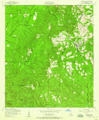
1954 Map of Hornbeck
USGS Topo · Published 1958About this map
The Kansas City Southern railroad serves as the primary corridor through this section of Louisiana's timber country, passing through the town of Hornbeck. The landscape is a dense network of drainages including Bayoo Toro and West Anacoco Creek, where local landmarks like Monks Hammock and Devils Lake define the terrain. Evidence of the region's changing infrastructure is visible in the Dismantled railroad tracks that branch away from the main line, indicating former logging or transport routes that once pierced the deep pine forests. For family historians, the sheet is exceptionally detailed, locating several community centers such as New Pleasant View Church and Saint Lukes Cemetery. Small clusters of activity are noted at Chance and near scattered Oil tanks, showing a rural economy reliant on natural resources during the mid-1950s.
Find a feature on this map
26 named features on this map. Tap any name to fly to it.
Don’t see what you’re looking for? This feature index may not catch every label — zoom into the map to look around manually.
Map Details
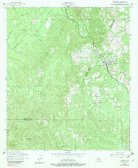
Editions of this 1954 Hornbeck Map
2 editions found
Other maps of this area

1941 · Leesville
USGS Topo · 1:62,500

1942 · Florien
USGS Topo · 1:62,500

1943 · Leesville
USGS Topo · 1:62,500

1944 · Negreet
USGS Topo · 1:62,500

1944 · Wiergate
USGS Topo · 1:62,500

1944 · Florien
USGS Topo · 1:62,500

1946 · Leesville
USGS Topo · 1:62,500

1948 · Leesville
USGS Topo · 1:62,500

1948 · Wiergate
USGS Topo · 1:62,500

1953 · Alexandria
USGS Topo · 1:250,000