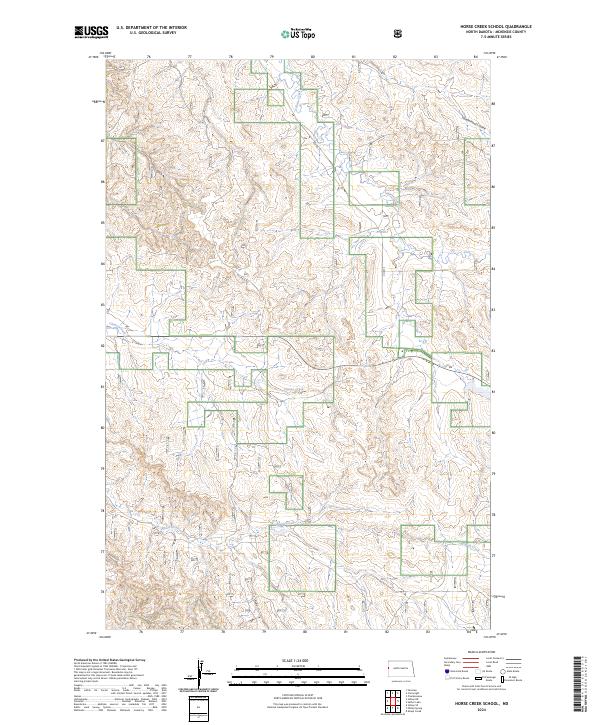
2024 Map of Horse Creek School
USGS Topo · Published 2024About this map
Horse Creek and its neighboring drainages define the landscape of this corner of McKenzie County, where the plains are etched by natural coulees and modern industrial infrastructure. This 2024 survey captures the characteristic dual-use nature of the North Dakota badlands, showing how legacy ranching terrain meets the active development of energy resources. The network of drainage features like Cheney Creek and Alkali Creek carve through the sections, while the presence of Oil Field Rd indicates the ongoing significance of the petroleum industry in the region. Local travel is facilitated by Co Rd 3, which traverses the township lines of the t149n r104w and t149n r103w ranges. Geographic landmarks like Vanderhoof Coulee provide essential waypoints for local history researchers and land managers documenting the evolution of this rural landscape.
Find a feature on this map
10 named features on this map. Tap any name to fly to it.
Don’t see what you’re looking for? This feature index may not catch every label — zoom into the map to look around manually.
Map Details
Editions of this 2024 Horse Creek School Map
This is the sole edition of this map. No revisions or reprints were ever made.
Other maps of this area

1909 · Glendive
USGS Topo · 1:250,000

1953 · Watford City
USGS Topo · 1:250,000

1954 · Glendive
USGS Topo · 1:250,000

1957 · Glendive
USGS Topo · 1:250,000

1957 · Watford City
USGS Topo · 1:250,000

1958 · Glendive
USGS Topo · 1:250,000

1966 · Sidney NE
USGS Topo · 1:24,000

1967 · Watford City
USGS Topo · 1:250,000

1972 · Horse Creek School
USGS Topo · 1:24,000
1972 · Fairview
USGS Topo · 1:24,000