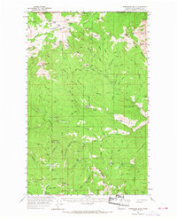
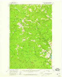
1956 Map of Horseshoe Basin
USGS Topo · Published 1968About this map
Okanogan National Forest dominates this high-country survey along the international boundary between the United States and Canada. The landscape is a complex drainage network centered on Toats Coulee Creek, where the North, Middle, and South Forks converge. High-elevation basins and peaks like Chopaka Mountain and Windy Peak define the terrain, which served as a remote staging ground for backcountry travelers and forest workers in the mid-1950s.
Find a feature on this map
101 named features on this map. Tap any name to fly to it.
Don’t see what you’re looking for? This feature index may not catch every label — zoom into the map to look around manually.
Map Details
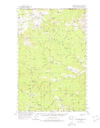
Editions of this 1956 Horseshoe Basin Map
3 editions found
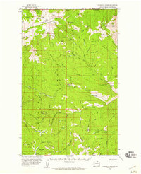
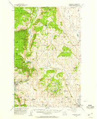
Other maps of this area
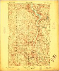
1906 · Chopaka
USGS Topo · 1:125,000

1954 · Okanogan
USGS Topo · 1:250,000

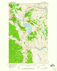
1955 · Concrete
USGS Topo · 1:250,000
1956 · Loomis
USGS Topo · 1:62,500
1956 · Tiffany Mountain
USGS Topo · 1:62,500
1956 · Horseshoe Basin
USGS Topo · 1:62,500
1957 · Conconully
USGS Topo · 1:62,500

1958 · Concrete
USGS Topo · 1:250,000

1958 · Okanogan
USGS Topo · 1:250,000

1962 · Concrete
USGS Topo · 1:250,000