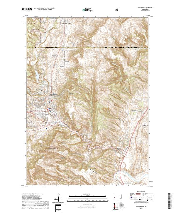
2021 Map of Hot Springs
USGS Topo · Published 2021About this map
Hot Springs serves as a gateway to the southern Black Hills, where the Fall River and Hot Brook converge within a landscape defined by deep canyons and prominent ridges. This 2021 survey details the township at a modern scale, illustrating the street grid of the county seat including Lincoln Ave and University Ave alongside the Fall River County Courthouse. The town is geographically bounded by the heights of Battle Mtn to the east and the Seven Sisters Range to the southwest, reflecting the area's geological complexity.
Find a feature on this map
76 named features on this map. Tap any name to fly to it.
Don’t see what you’re looking for? This feature index may not catch every label — zoom into the map to look around manually.
Map Details
Editions of this 2021 Hot Springs Map
This is the sole edition of this map. No revisions or reprints were ever made.
Other maps of this area

1894 · Hermosa
USGS Topo · 1:125,000

1896 · Oelrichs
USGS Topo · 1:125,000

1896 · Harney Peak
USGS Topo · 1:125,000

1900 · Oelrichs
USGS Topo · 1:125,000

1901 · Hermosa
USGS Topo · 1:125,000

1901 · Harney Peak
USGS Topo · 1:125,000

1902 · Edgemont
USGS Topo · 1:125,000

1950 · Hot Springs
USGS Topo · 1:24,000

1950 · Buffalo Gap
USGS Topo · 1:24,000

1950 · Cascade Springs
USGS Topo · 1:24,000