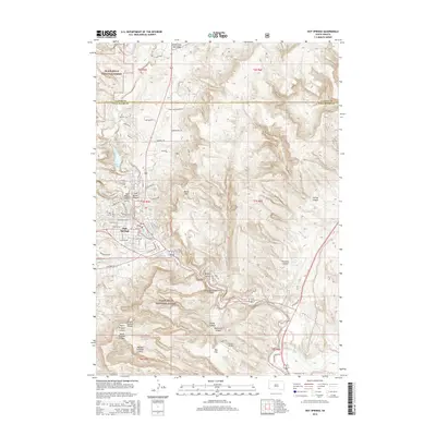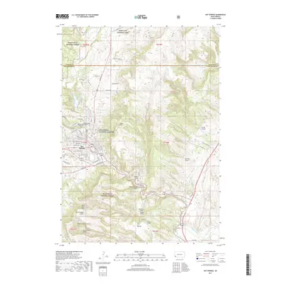
1985 Map of Hot Springs
USGS Topo · Published 1986About this map
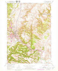
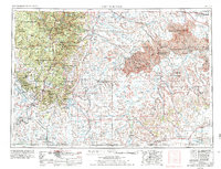
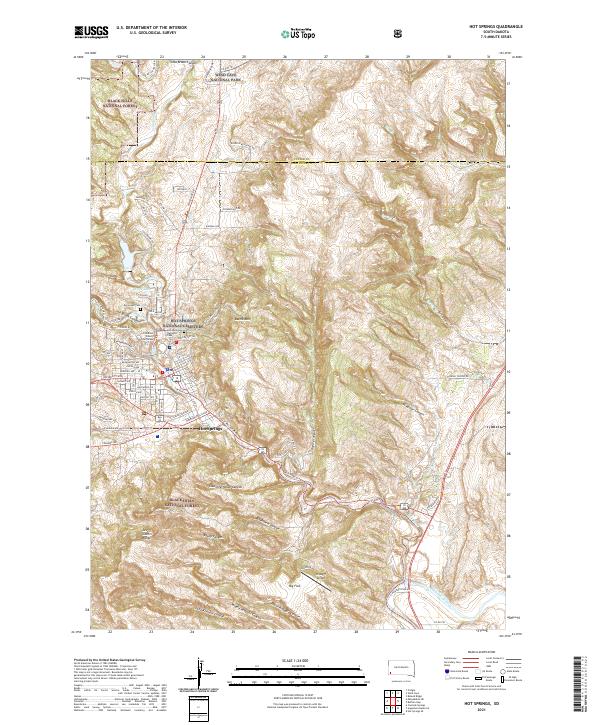
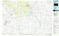
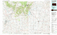
Hot Springs serves as the regional anchor on this mid-1980s survey, home to the National Cem and the Battle Mountain Sanitarium. The landscape transitions from the wooded heights of the Black Hills National Forest in the north to the expansive reaches of the Buffalo Gap National Grassland in the south. A notable military footprint is preserved here at Igloo, the site of the Black Hills Ordnance Plant (Abandoned), which sits adjacent to the Burlington Northern Railroad corridor. The Cheyenne River winds through the center of the sheet, feeding the Angostura Reservoir, while smaller railroad towns like Edgemont and Ardmore mark the transportation routes that defined the local economy during this era of South Dakota and Nebraska history.
Find a feature on this map
123 named features on this map. Tap any name to fly to it.
Don’t see what you’re looking for? This feature index may not catch every label — zoom into the map to look around manually.
Map Details
Editions of this 1985 Hot Springs Map
2 editions found
Historical Maps of Hot Springs Through Time
8 maps found