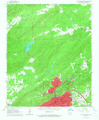
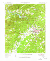
1966 Map of Hot Springs North
USGS Topo · Published 1967About this map
Hot Springs National Park dominates the southern landscape of this mid-1960s survey, illustrating the complex intersection of federal land and the growing urban core of Hot Springs. The map reveals a transition from the dense downtown grid, featuring landmarks like the Courthouse, Auditorium, and Levi Memorial Hospital, to the dramatic topography of Hot Springs Mountain and The Gorge. To the north, the terrain rises into Glazypeau Mountain and Blowout Mountain, where the land is defined by winding creeks and small rural markers such as Glazypeau Ford and Robbins Cem.
Find a feature on this map
65 named features on this map. Tap any name to fly to it.
Don’t see what you’re looking for? This feature index may not catch every label — zoom into the map to look around manually.
Map Details
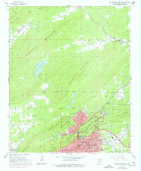
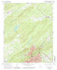
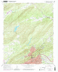
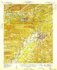
Editions of this 1966 Hot Springs North Map
4 editions found
Other maps of this area

1890 · Benton
USGS Topo · 1:125,000

1890 · Hot Springs
USGS Topo · 1:125,000

1894 · Hot Springs
USGS Topo · 1:125,000

1894 · Benton
USGS Topo · 1:125,000
1948 · Malvern
USGS Topo · 1:62,500
1949 · Malvern
USGS Topo · 1:62,500

1955 · Little Rock
USGS Topo · 1:250,000

1956 · Little Rock
USGS Topo · 1:250,000

1960 · Little Rock
USGS Topo · 1:250,000

1964 · Little Rock
USGS Topo · 1:250,000