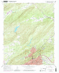
1966 Map of Hot Springs North
USGS Topo · Published 1989About this map
Hot Springs National Park anchors the southern portion of this mid-1960s survey, showing the complex intersection of the urban Hot Springs corporate boundary and the surrounding ridge-and-valley landscape. The map details a transition from the dense institutional infrastructure of the city—home to the Levi Memorial Hospital, Quachita Hospital, and multiple schools like Langston High Sch—to the more dispersed settlements of Ozark Lithia and Euclid Heights.
Find a feature on this map
74 named features on this map. Tap any name to fly to it.
Don’t see what you’re looking for? This feature index may not catch every label — zoom into the map to look around manually.
Map Details
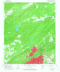
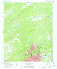
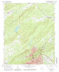
Editions of this 1966 Hot Springs North Map
4 editions found
Other maps of this area

1890 · Benton
USGS Topo · 1:125,000

1890 · Hot Springs
USGS Topo · 1:125,000

1894 · Hot Springs
USGS Topo · 1:125,000

1894 · Benton
USGS Topo · 1:125,000

1948 · Malvern
USGS Topo · 1:62,500

1949 · Malvern
USGS Topo · 1:62,500

1955 · Little Rock
USGS Topo · 1:250,000

1956 · Little Rock
USGS Topo · 1:250,000

1960 · Little Rock
USGS Topo · 1:250,000

1964 · Little Rock
USGS Topo · 1:250,000