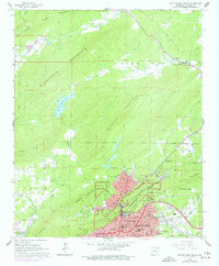
1966 Map of Hot Springs North
USGS Topo · Published 1977About this map
Hot Springs National Park anchors the southern portion of this mid-1960s survey, illustrating a landscape defined by thermal waters and steep topography. The core of Hot Springs reveals a dense urban fabric of civic and medical institutions, including the Courthouse, St Joseph Hospital, and Quachita Hospital. The map records significant educational landmarks like Langston High Sch and Douglas Sch, providing essential geographic data for local history. To the north, the terrain transitions into the heavily wooded ridges of Glazypeau Mountain and Blowout Mountain. This area is dotted with small rural communities and springs, such as Ozark Lithia and White Sulphur Springs, which hint at the region's long-standing reputation for mineral waters. Rural life is further documented through numerous family-named burial grounds like Robbins Cem and McGill Cem, and crossroads churches including Walnut Valley Ch.
Find a feature on this map
58 named features on this map. Tap any name to fly to it.
Don’t see what you’re looking for? This feature index may not catch every label — zoom into the map to look around manually.
Map Details
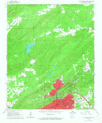
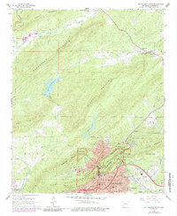
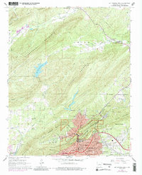
Editions of this 1966 Hot Springs North Map
4 editions found
Other maps of this area

1890 · Benton
USGS Topo · 1:125,000

1890 · Hot Springs
USGS Topo · 1:125,000

1894 · Hot Springs
USGS Topo · 1:125,000

1894 · Benton
USGS Topo · 1:125,000

1948 · Malvern
USGS Topo · 1:62,500

1949 · Malvern
USGS Topo · 1:62,500

1955 · Little Rock
USGS Topo · 1:250,000

1956 · Little Rock
USGS Topo · 1:250,000

1960 · Little Rock
USGS Topo · 1:250,000

1964 · Little Rock
USGS Topo · 1:250,000