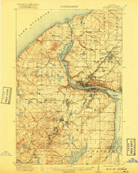
1915 Map of Houghton
USGS Topo · Published 1917About this map
The copper-rich landscape of Michigan's Keweenaw Peninsula is captured here during a period of intensive industrial operation. The towns of Houghton and Hancock serve as the central hubs, connected by a complex web of railroads including the Copper Range RR and the Mineral Range RR. This transportation network supported a string of mining communities that defined the local economy, from Painesdale and Trimountain in the south to the Franklin Junior Mine and Rhode Island Mine to the north.
Find a feature on this map
81 named features on this map. Tap any name to fly to it.
Don’t see what you’re looking for? This feature index may not catch every label — zoom into the map to look around manually.
Map Details
Editions of this 1915 Houghton Map
4 editions found
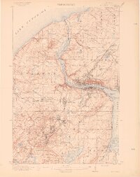
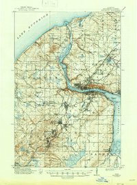
Other maps of this area

1915 · Houghton
USGS Topo · 1:62,500

1941 · Ahmeek
USGS Topo · 1:31,680

1946 · Hancock
USGS Topo · 1:24,000

1946 · Chassell
USGS Topo · 1:24,000

1946 · South Range
USGS Topo · 1:24,000

1946 · Muggun Creek
USGS Topo · 1:24,000

1946 · Ahmeek
USGS Topo · 1:24,000

1946 · Laurium
USGS Topo · 1:24,000

1947 · Ahmeek
USGS Topo · 1:24,000

1948 · South Range
USGS Topo · 1:24,000