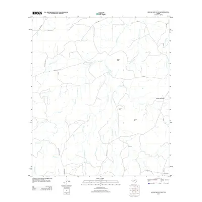
2012 Map of House Mountain
USGS Topo · Published 2012About this map
House Mtn and Prairie Mountain dominate this Central Texas landscape in Llano County, where a network of seasonal creeks and drainage basins defines the rural character of the terrain. The presence of Putman Cem near the base of Putman Mtn provides a focal point for genealogical research, while family-named landmarks like Marschall Cr and Gersdorf Cr suggest the early ranching history of the area. A complex web of local transit, including Keyserville Rd and Cold Spring Creek Rd, connects these remote highlands. Notable natural features such as House Mountain Spring and the distinctive Lovers Rock are interspersed among watercourses like Hickory Cr and Left Hand Cr. This 2012 survey illustrates a landscape of large-scale ranching and rugged topography that remains largely undeveloped, preserving the original rural layout of the region.
Find a feature on this map
36 named features on this map. Tap any name to fly to it.
Don’t see what you’re looking for? This feature index may not catch every label — zoom into the map to look around manually.
Map Details
Editions of this 2012 House Mountain Map
This is the sole edition of this map. No revisions or reprints were ever made.
Other maps of this area

1887 · Llano
USGS Topo · 1:125,000

1887 · Mason
USGS Topo · 1:125,000

1894 · Mason
USGS Topo · 1:125,000

1894 · Fredericksburg
USGS Topo · 1:125,000

1894 · Kerrville
USGS Topo · 1:125,000

1894 · Llano
USGS Topo · 1:125,000

1904 · Llano
USGS Topo · 1:125,000

1909 · Llano
USGS Topo · 1:125,000

1918 · Llano
USGS Topo · 1:125,000

1954 · Llano
USGS Topo · 1:250,000