
1905 Map of Houtzdale
USGS Topo · Published 1905About this map
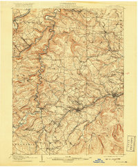
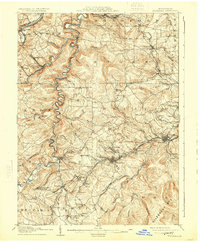
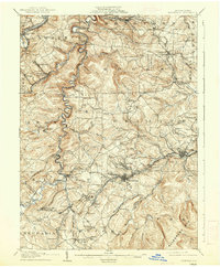
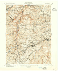
Houtzdale and Osceola anchor a landscape defined by the turn-of-the-century coal and rail economy in the heart of Clearfield County. This 1905 survey reveals a complex network of industrial arteries, including the Pennsylvania R. R. and the N. Y. C. and H. R. R. R., which threaded through the narrow valleys of Moshannon Creek and Clearfield Creek. The map documents numerous post offices and company-aligned settlements such as Williams Grove P.O. and Kephart P.O., illustrating how early mining operations dictated the region's geography.
Find a feature on this map
109 named features on this map. Tap any name to fly to it.
Don’t see what you’re looking for? This feature index may not catch every label — zoom into the map to look around manually.
Map Details
Editions of this 1905 Houtzdale Map
5 editions found
Other maps of this area

1902 · Patton
USGS Topo · 1:62,500

1903 · Curwensville
USGS Topo · 1:62,500

1903 · Houtzdale
USGS Topo · 1:62,500

1904 · Patton
USGS Topo · 1:62,500

1920 · Altoona
USGS Topo · 1:62,500

1922 · Philipsburg
USGS Topo · 1:62,500

1922 · Altoona
USGS Topo · 1:62,500

1923 · Tyrone
USGS Topo · 1:62,500

1929 · Tyrone
USGS Topo · 1:48,000

1929 · Karthaus
USGS Topo · 1:62,500