
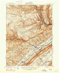
1923 Map of Howard
USGS Topo · Published 1923About this map
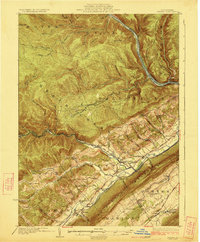
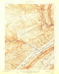
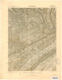
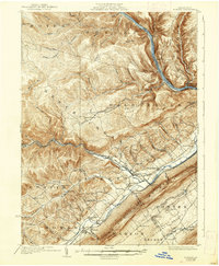
The West Branch Susquehanna River carves through the northern reach of this landscape, where early 20th-century industry and transport follow the water and mountain gaps. The Pennsylvania Railroad runs parallel to the river and through the valley floor, connecting riverside settlements like Farrandsville and Riverview to the interior. At the southern foot of Bald Eagle Mountain, the Nittany Valley opens up, revealing a dense network of local education and faith including the Cedar Spring School and Hunters Run Church.
Find a feature on this map
84 named features on this map. Tap any name to fly to it.
Don’t see what you’re looking for? This feature index may not catch every label — zoom into the map to look around manually.
Map Details
Editions of this 1923 Howard Map
6 editions found
Other maps of this area

1908 · Bellefonte
USGS Topo · 1:62,500

1909 · Bellefonte
USGS Topo · 1:62,500

1921 · Howard
USGS Topo · 1:48,000

1921 · Lock Haven
USGS Topo · 1:62,500

1923 · Lock Haven
USGS Topo · 1:62,500

1924 · Centre Hall
USGS Topo · 1:62,500

1928 · Snow Shoe
USGS Topo · 1:48,000

1929 · Centre Hall
USGS Topo · 1:62,500

1931 · Show Shoe
USGS Topo · 1:62,500

1937 · Waterville
USGS Topo · 1:48,000