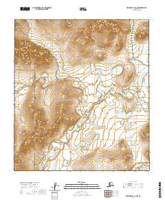
2020 Map of Howard Pass A-2 NW
USGS Topo · Published 2020About this map
The Aniuk River flows through this remote arctic landscape, marking a transition between major conservation and resource areas. To the south, the Noatak National Preserve protects a vast expanse of the Brooks Range watershed, while the northeastern portion of the map enters the National Petroleum Reserve - Alaska. The terrain is characterized by the low, rolling summits of the Pupik Hills and a network of glacial water bodies including Kiingyak Lake.
Find a feature on this map
14 named features on this map. Tap any name to fly to it.
Don’t see what you’re looking for? This feature index may not catch every label — zoom into the map to look around manually.
Map Details
Editions of this 2020 Howard Pass A-2 NW Map
This is the sole edition of this map. No revisions or reprints were ever made.
Other maps of this area

1951 · Howard Pass
USGS Topo · 1:250,000

1956 · Howard Pass
USGS Topo · 1:250,000
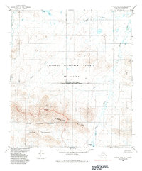
1984 · Howard Pass B-2
USGS Topo · 1:63,360
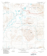
1984 · Howard Pass A-2
USGS Topo · 1:63,360

1984 · Howard Pass A-3
USGS Topo · 1:63,360

1984 · Howard Pass B-3
USGS Topo · 1:63,360
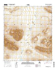
2016 · Howard Pass B-2 SE
USGS Topo · 1:25,000
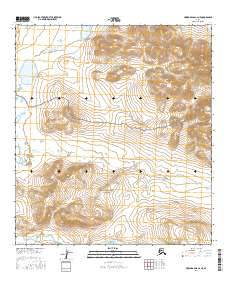
2016 · Howard Pass A-2 NE
USGS Topo · 1:25,000
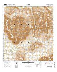
2016 · Howard Pass A-2 SE
USGS Topo · 1:25,000
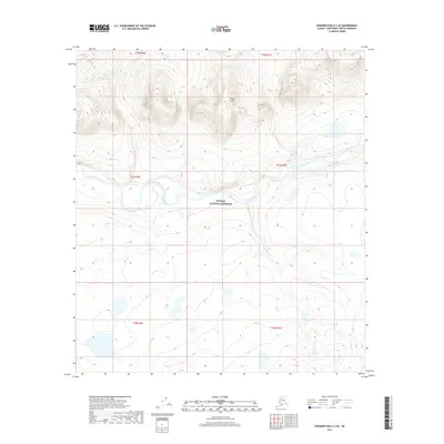
2017 · Howard Pass A-3 SE
USGS Topo · 1:25,000