Loading...
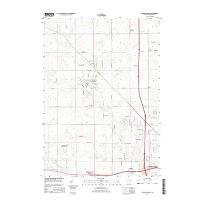
Loading map...2022 Map of Howards Grove
USGS Topo · Published 2022About this map
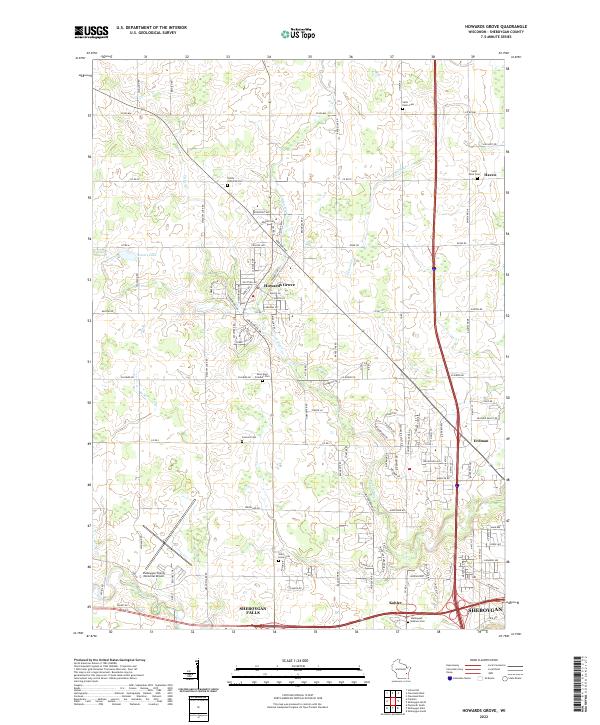
Howards Grove serves as a central hub in this section of Sheboygan County, where the Pigeon River and several of its tributaries, including Sevenmile Cr and Fisher Cr, define the drainage patterns of the rural landscape. The area is marked by a high density of established burial grounds that reflect the denominational history of the region, such as Trinity Lutheran Cem, Saint Paul Friedhof Cem, and the Sheboygan Hebrew Cem located near the southern margin.
Find a feature on this map
74 named features on this map. Tap any name to fly to it.
Don’t see what you’re looking for? This feature index may not catch every label — zoom into the map to look around manually.
Map Details
Date Portrayed2022
Date Published2022
PublisherU.S. Geological Survey
Map TypeTopographic
Scale1:24,000
Physical Dimensions24 x 29 inches
Editions of this 2022 Howards Grove Map
This is the sole edition of this map. No revisions or reprints were ever made.
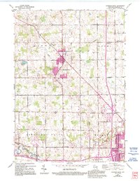
Historical Maps of Sheboygan Through Time
7 maps found

Featured Locations
Source Details
SourceU.S. Geological Survey
CopyrightPublic Domain