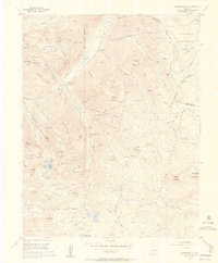
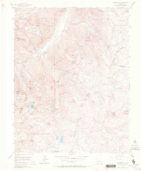
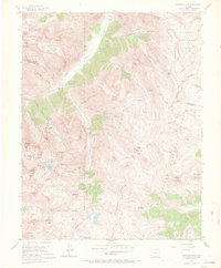
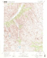
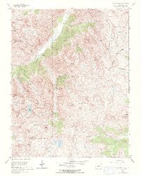
1955 Map of Howardsville
USGS Topo · Published 1957About this map
The Animas River corridor near Howardsville served as a major industrial artery for the San Juan silver and gold mining district during the mid-1950s. While most operations are noted as inactive by the Geological Survey at this time, the Pride of the West Mine and Osceola Mine remain significant exceptions. The complex network of abandoned aerial tramways connecting high-altitude workings like the Old Hundred Mine to valley-floor mills demonstrates the incredible engineering feats required for San Juan mountain extraction.
Find a feature on this map
87 named features on this map. Tap any name to fly to it.
Don’t see what you’re looking for? This feature index may not catch every label — zoom into the map to look around manually.
Map Details
Editions of this 1955 Howardsville Map
8 editions found
Other maps of this area

1897 · Silverton
USGS Topo · 1:62,500

1900 · Needle Mountains
USGS Topo · 1:62,500

1901 · Silverton
USGS Topo · 1:62,500

1902 · Needle Mountains
USGS Topo · 1:62,500

1902 · Silverton
USGS Topo · 1:62,500

1905 · San Cristobal
USGS Topo · 1:125,000

1907 · San Cristobal
USGS Topo · 1:125,000

1945 · Durango
USGS Topo · 1:250,000

1953 · Durango
USGS Topo · 1:250,000

1954 · Durango
USGS Topo · 1:250,000