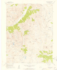
1955 Map of Howardsville
USGS Topo · Published 1957About this map
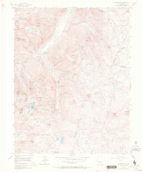
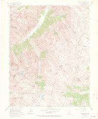
Howardsville and Middleton anchor this mid-century survey of the high San Juan Mountains, where the landscape is defined by a dense concentration of hard-rock mining operations. The map documents an intensive extraction economy, noting both historic sites and those still in operation, such as the Osceola Mine (Active) and Pride of the West Mine (Active). Heavy industry footprints like the Pride of the West Mill and the Unity Tunnel are shown alongside the intricate network of aerial tramways and pack trails that connected these remote sites to the valley floor.
Find a feature on this map
85 named features on this map. Tap any name to fly to it.
Don’t see what you’re looking for? This feature index may not catch every label — zoom into the map to look around manually.
Map Details
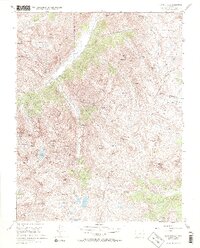
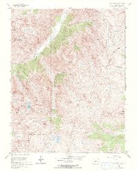
Editions of this 1955 Howardsville Map
8 editions found
Other maps of this area

1897 · Silverton
USGS Topo · 1:62,500

1900 · Needle Mountains
USGS Topo · 1:62,500

1901 · Silverton
USGS Topo · 1:62,500

1902 · Needle Mountains
USGS Topo · 1:62,500

1902 · Silverton
USGS Topo · 1:62,500

1905 · San Cristobal
USGS Topo · 1:125,000

1907 · San Cristobal
USGS Topo · 1:125,000

1945 · Durango
USGS Topo · 1:250,000

1953 · Durango
USGS Topo · 1:250,000

1954 · Durango
USGS Topo · 1:250,000