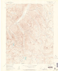
1955 Map of Howardsville
USGS Topo · Published 1963About this map
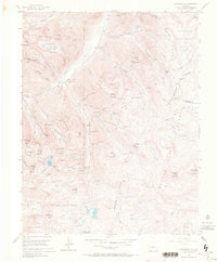
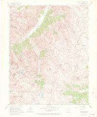
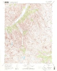
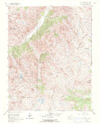
Howardsville and Middleton anchor this high-altitude landscape in the mid-1950s, a period when the intense industrial mining activity of the San Juan Mountains had largely moved into an inactive phase. The map meticulously records the infrastructure of this hard-rock mining legacy, showing the Old Hundred Mine, Hamlet Mine, and the Pride of the West Mine (Adit) tucked into steep drainages like Cunningham Gulch and Minnie Gulch. Genealogists may find particular value in the location of the Pride of the West Cem, situated near the confluence of the Animas River and Cunningham Creek. The terrain is defined by massive peaks such as King Solomon Mountain and Galena Mountain, while the hydrology is marked by the headwaters of the Rio Grande and the high alpine Highland Mary Lakes.
Find a feature on this map
69 named features on this map. Tap any name to fly to it.
Don’t see what you’re looking for? This feature index may not catch every label — zoom into the map to look around manually.
Map Details
Editions of this 1955 Howardsville Map
8 editions found
Other maps of this area

1897 · Silverton
USGS Topo · 1:62,500

1900 · Needle Mountains
USGS Topo · 1:62,500

1901 · Silverton
USGS Topo · 1:62,500

1902 · Needle Mountains
USGS Topo · 1:62,500

1902 · Silverton
USGS Topo · 1:62,500

1905 · San Cristobal
USGS Topo · 1:125,000

1907 · San Cristobal
USGS Topo · 1:125,000

1945 · Durango
USGS Topo · 1:250,000

1953 · Durango
USGS Topo · 1:250,000

1954 · Durango
USGS Topo · 1:250,000