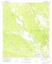
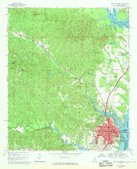
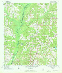
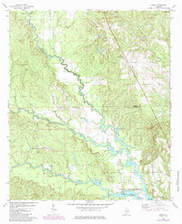
1973 Map of Howe
USGS Topo · Published 1976This historical map portrays the area of Howe in 1973, primarily covering Barbour County as well as portions of Russell County. Featuring a scale of 1:24000, this map provides a highly detailed snapshot of the terrain, roads, buildings, counties, and historical landmarks in the Howe region at the time. Published in 1976, it is one of 2 known editions of this map due to revisions or reprints.
Find a feature on this map
30 named features on this map. Tap any name to fly to it.
Don’t see what you’re looking for? This feature index may not catch every label — zoom into the map to look around manually.
Map Details
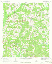
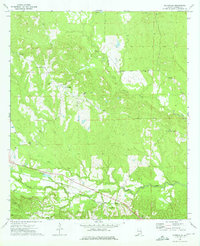
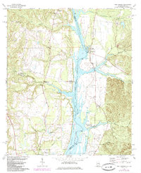
Editions of this 1973 Howe Map
2 editions found
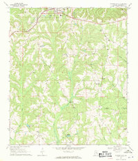
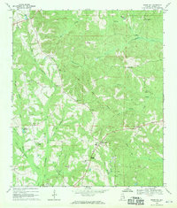
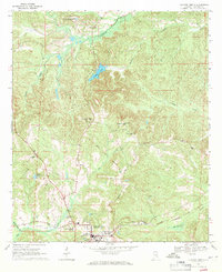
Historical Maps of Russell County Through Time
27 maps found
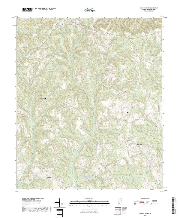
1967 Clayton South
Barbour County, AL
1968 Baker Hill
Barbour County, AL
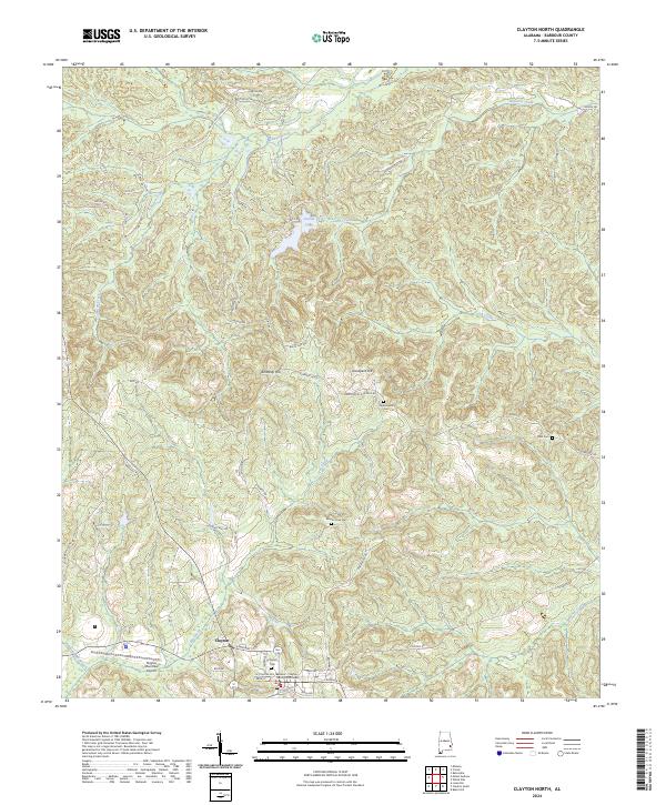
1968 Clayton North
Barbour County, AL
1968 Eufaula North
Barbour County, AL
1968 Eufaula South
Barbour County, AL
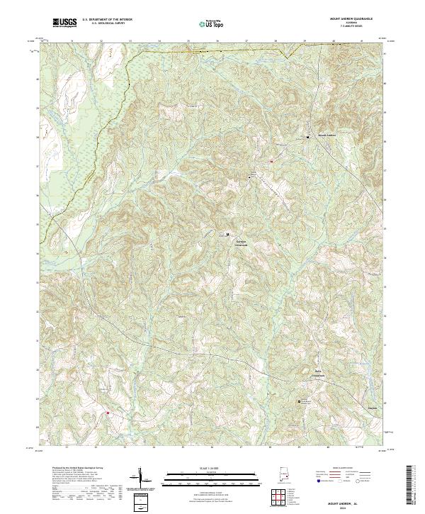
1968 Mount Andrew
Barbour County, AL
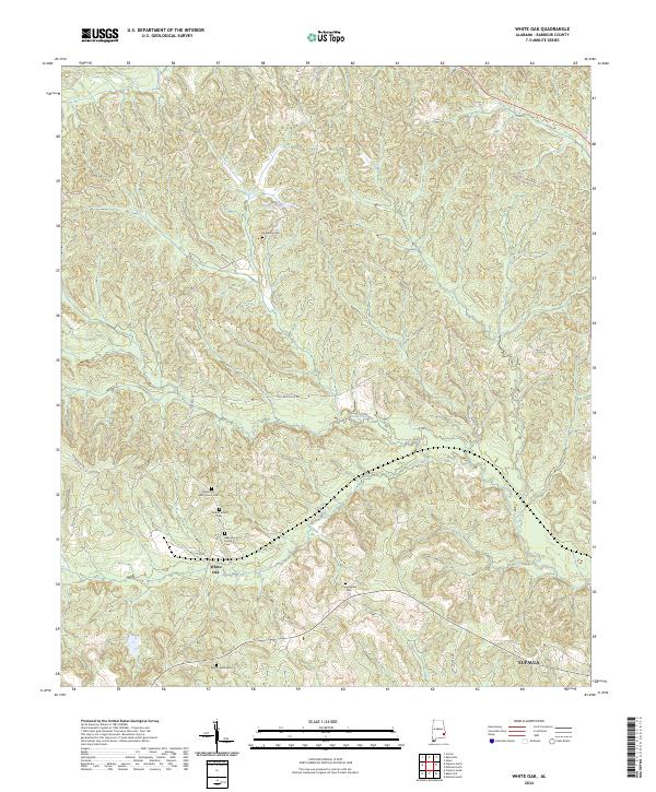
1968 White Oak
Barbour County, AL
1969 Elamville
Barbour County, AL
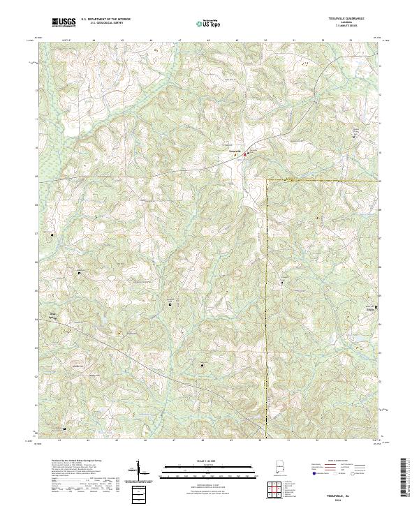
1969 Texasville
Barbour County, AL
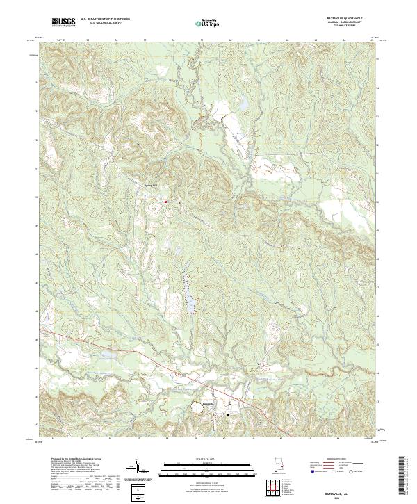
1973 Batesville
Barbour County, AL
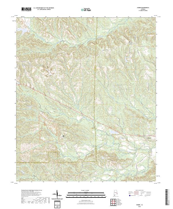
1973 Comer
Barbour County, AL
1973 Howe
Barbour County, AL
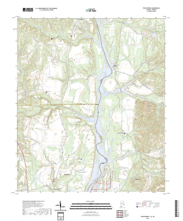
1973 Twin Springs
Barbour County, AL
1979 Elamville
Barbour County, AL
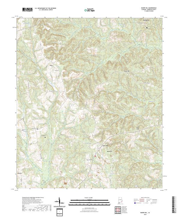
2024 Baker Hill
Barbour County, AL
2024 Batesville
Barbour County, AL
2024 Clayton North
Barbour County, AL
2024 Clayton South
Barbour County, AL
2024 Comer
Barbour County, AL
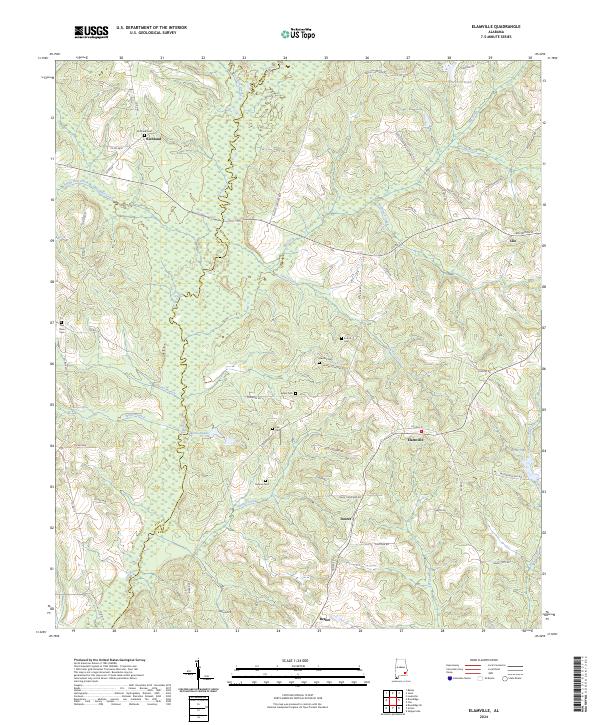
2024 Elamville
Barbour County, AL
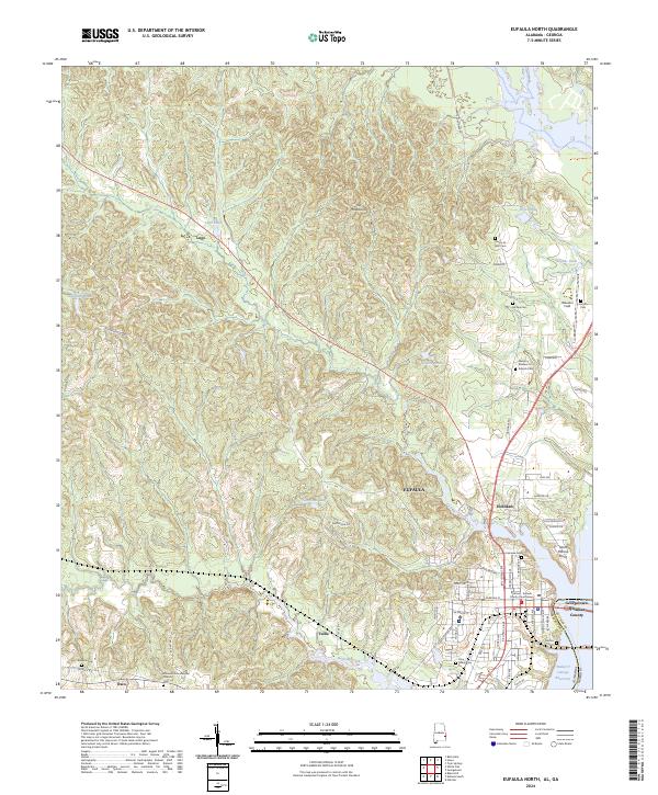
2024 Eufaula North
Barbour County, AL
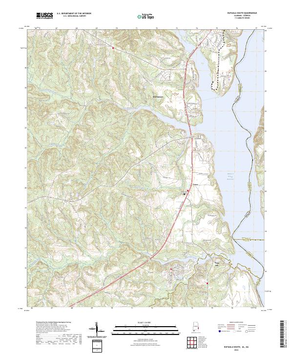
2024 Eufaula South
Barbour County, AL
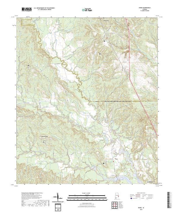
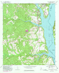
2024 Howe
Barbour County, AL
2024 Mount Andrew
Barbour County, AL
2024 Texasville
Barbour County, AL
2024 Twin Springs
Barbour County, AL
2024 White Oak
Barbour County, AL