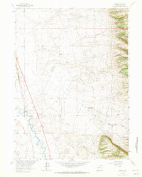
1963 Map of Howell
USGS Topo · Published 1965About this map
The Union Pacific railroad and the Laramie River dominate this early 1960s landscape, illustrating the critical relationship between water management and transportation in Albany County. The small settlement of Howell serves as a focal point along the rail line, while a network of irrigation works including the Pioneer Canal and North Canal underscores the region's agricultural foundations.
Find a feature on this map
20 named features on this map. Tap any name to fly to it.
Don’t see what you’re looking for? This feature index may not catch every label — zoom into the map to look around manually.
Map Details
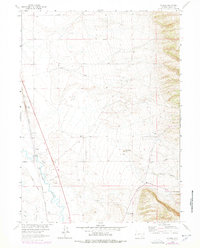
Editions of this 1963 Howell Map
2 editions found
Other maps of this area

1895 · Laramie
USGS Topo · 1:125,000

1902 · Laramie
USGS Topo · 1:125,000

1905 · Sherman
USGS Topo · 1:125,000

1905 · Laramie
USGS Topo · 1:125,000

1906 · Laramie
USGS Topo · 1:125,000

1908 · Laramie
USGS Topo · 1:125,000

1948 · Ragged Top Mountain
USGS Topo · 1:62,500

1950 · Ragged Top Mountain
USGS Topo · 1:62,500

1954 · Cheyenne
USGS Topo · 1:250,000

1955 · Bosler
USGS Topo · 1:24,000