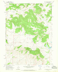
1967 Map of Hoy Mountain
USGS Topo · Published 1969About this map
Hoy Mountain and Wild Mountain dominate the high-elevation landscape where the borders of Utah and Colorado meet. This 1960s topographic survey captures a sparsely populated region defined by drainage patterns and seasonal water sources, featuring several Springs and the winding course of Pot Creek. The mapping reveals a land of limited infrastructure, where travel is relegated to a primitive Jeep Trail and the local economy is represented by small-scale features like a Gravel Pit.
Find a feature on this map
17 named features on this map. Tap any name to fly to it.
Don’t see what you’re looking for? This feature index may not catch every label — zoom into the map to look around manually.
Map Details
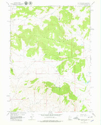
Editions of this 1967 Hoy Mountain Map
2 editions found
Other maps of this area

1885 · Ashley
USGS Topo · 1:250,000

1952 · Warren Draw
USGS Topo · 1:24,000

1952 · Swallow Canyon
USGS Topo · 1:24,000

1954 · Lodore School
USGS Topo · 1:24,000

1954 · Canyon of Lodore South
USGS Topo · 1:24,000

1954 · Canyon of Lodore North
USGS Topo · 1:24,000

1954 · Vernal
USGS Topo · 1:250,000

1955 · Island Park
USGS Topo · 1:24,000

1955 · Jones Hole
USGS Topo · 1:24,000

1958 · Vernal
USGS Topo · 1:250,000