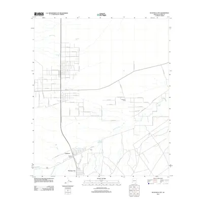
2012 Map of Huachuca City
USGS Topo · Published 2012About this map
The Babocomari River and its seasonal drainage network define the high-desert landscape of this southern Arizona corridor during the early 21st century. The map centered on Huachuca City reveals a mixture of established ranching heritage and modern residential development. Notable agricultural footprints such as Hunt Ranch and Rock Ranch sit alongside the settlement of Campstone, reflecting the region's enduring rural character. To the south, the terrain begins its ascent into Huachuca Canyon, while the northern portion is marked by several water management features including Homestead Tank and Boedecker Tank.
Find a feature on this map
63 named features on this map. Tap any name to fly to it.
Don’t see what you’re looking for? This feature index may not catch every label — zoom into the map to look around manually.
Map Details
Editions of this 2012 Huachuca City Map
This is the sole edition of this map. No revisions or reprints were ever made.
Other maps of this area

1915 · Benson
USGS Topo · 1:125,000

1922 · St. David
USGS Topo · 1:62,500

1926 · Whetstone
USGS Topo · 1:62,500

1932 · Fairbank
USGS Topo · 1:62,500

1938 · Huachuca
USGS Topo · 1:62,500

1943 · Benson
USGS Topo · 1:125,000

1948 · Fort Huachuca NE
USGS Topo · 1:24,000
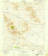
1948 · Mustang Mountains
USGS Topo · 1:24,000
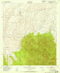
1948 · Fort Huachuca SW
USGS Topo · 1:24,000
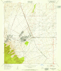
1948 · Fort Huachuca
USGS Topo · 1:24,000