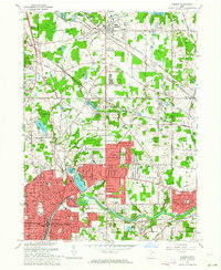
1963 Map of Hudson
USGS Topo · Published 1964About this map
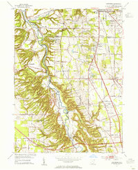
The Cuyahoga River anchors this mid-century survey of Summit County, winding through Munroe Falls and past the growing residential corridors between Stow and Cuyahoga Falls. The northern portion of the map is dominated by the long-standing academic grounds of the Western Reserve Academy and the historic core of Hudson, where the influence of the Pennsylvania and Baltimore and Ohio railroads remains evident in the local street patterns. Significant water bodies like Wyoga Lake, Silver Lake, and Crystal Lake punctuate the landscape, serving as recreational and geographical landmarks. The map documents a period of suburban expansion, visible in the density of residential streets like Atterbury Blvd and the development of the Hudson Plaza Shopping Center, while traditional rural elements like the Cackler Cem and several gravel pits persist on the outskirts of Kent and Tallmadge.
Find a feature on this map
82 named features on this map. Tap any name to fly to it.
Don’t see what you’re looking for? This feature index may not catch every label — zoom into the map to look around manually.
Map Details
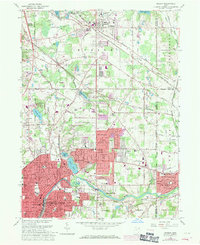
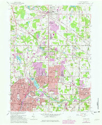
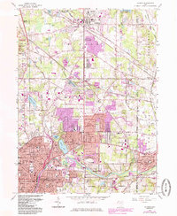
Editions of this 1963 Hudson Map
4 editions found
Other maps of this area

1903 · Cleveland
USGS Topo · 1:62,500

1903 · Akron
USGS Topo · 1:62,500

1905 · Akron
USGS Topo · 1:62,500

1906 · Kent
USGS Topo · 1:62,500

1906 · Chagrin Falls
USGS Topo · 1:62,500

1908 · Chagrin Falls
USGS Topo · 1:62,500

1950 · Cleveland
USGS Topo · 1:250,000

1953 · Aurora
USGS Topo · 1:24,000

1953 · Twinsburg
USGS Topo · 1:24,000
1953 · Northfield
USGS Topo · 1:24,000