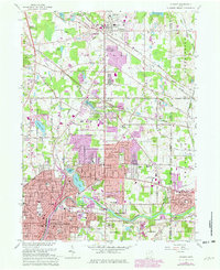
1963 Map of Hudson
USGS Topo · Published 1980About this map
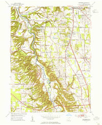
Western Reserve Academy stands as a prominent landmark in this northeastern Ohio landscape, where the historic core of Hudson meets the post-war suburban expansion of the late twentieth century. The map reveals the intensifying development patterns between Akron and Cleveland, particularly within the Stow Corporate Boundary and the burgeoning areas of Silver Lake and Munroe Falls. This era is defined by the proliferation of shopping hubs like the Stow-Kent Shopping Center and Hudson Plaza Shopping Center, reflecting the shift toward car-centric commerce. A complex transportation network of Conrail tracks and the Baltimore and Ohio Railroad follows the winding path of the Cuyahoga River, while legacy sites such as Oakwood Cemetery and the O'Brien Cem anchor the region's deeper genealogical history.
Find a feature on this map
62 named features on this map. Tap any name to fly to it.
Don’t see what you’re looking for? This feature index may not catch every label — zoom into the map to look around manually.
Map Details
Editions of this 1963 Hudson Map
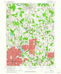
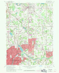
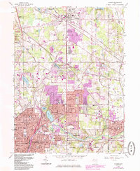
4 editions found
Other maps of this area

1903 · Cleveland
USGS Topo · 1:62,500

1903 · Akron
USGS Topo · 1:62,500

1905 · Akron
USGS Topo · 1:62,500

1906 · Kent
USGS Topo · 1:62,500

1906 · Chagrin Falls
USGS Topo · 1:62,500

1908 · Chagrin Falls
USGS Topo · 1:62,500

1950 · Cleveland
USGS Topo · 1:250,000

1953 · Aurora
USGS Topo · 1:24,000

1953 · Twinsburg
USGS Topo · 1:24,000
1953 · Northfield
USGS Topo · 1:24,000