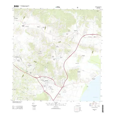
2013 Map of Humacao
USGS Topo · Published 2013About this map
The town of Humacao serves as the central hub for this coastal region of southeastern Puerto Rico, situated where the Rio Humacao meets the coastal plains. The landscape is defined by the winding paths of numerous waterways, including the Rio Anton Ruiz and Rio Blanco, which drain the surrounding highlands toward the Caribbean Sea. Local transit is centered on the PR-3 and PR-31 corridors, connecting smaller settlements like La Fermina, Bajandas, and Pueblito del Rio.
Find a feature on this map
77 named features on this map. Tap any name to fly to it.
Don’t see what you’re looking for? This feature index may not catch every label — zoom into the map to look around manually.
Map Details
Editions of this 2013 Humacao Map
This is the sole edition of this map. No revisions or reprints were ever made.
Other maps of this area

1945 · El Yunque
USGS Topo · 1:30,000

1946 · El Yunque
USGS Topo · 1:30,000

1946 · Humacao
USGS Topo · 1:30,000

1946 · Punta Guayanes
USGS Topo · 1:30,000

1946 · Gurabo
USGS Topo · 1:30,000

1946 · Juncos
USGS Topo · 1:30,000

1946 · Yabucoa
USGS Topo · 1:30,000

1946 · Naguabo
USGS Topo · 1:30,000
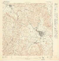
1947 · Humacao SO
USGS Topo · 1:10,000
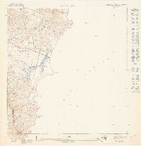
1947 · Punta Guayanes NE
USGS Topo · 1:10,000
Featured Places
- Humacao
- Las Piedras
- Brisas del Río, Humacao
- Sector Los Dávila, Las Piedras
- Sector Los Tolentinos, Las Piedras