
1919 Map of Humble
USGS Topo · Published 1919About this map
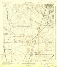
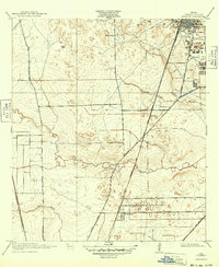
Humble appears as a burgeoning oil and rail hub just a few years after the initial Texas oil boom, its grid dominated by industrial infrastructure including numerous Oil Tanks and Tanks. The landscape is a network of watercourses and early transit corridors, where the Atascocita Ferry Road and Houston-Westfield Road provide terrestrial passage through the low-lying terrain of Greens Bayou and Renhardt Bayou. Rural life is anchored by the Higgs School in the north, while smaller settlements like Bender and Mt Houston sit along the heavy timber of the railroad lines.
Find a feature on this map
18 named features on this map. Tap any name to fly to it.
Don’t see what you’re looking for? This feature index may not catch every label — zoom into the map to look around manually.
Map Details
Editions of this 1919 Humble Map
3 editions found
Other maps of this area

1915 · Houston Heights
USGS Topo · 1:24,000

1916 · Aldine
USGS Topo · 1:24,000

1916 · Settegast
USGS Topo · 1:24,000

1916 · Fauna
USGS Topo · 1:24,000

1916 · Harmaston
USGS Topo · 1:24,000

1916 · Moonshine Hill
USGS Topo · 1:24,000

1916 · Humble
USGS Topo · 1:24,000

1916 · Spring
USGS Topo · 1:24,000

1919 · Aldine
USGS Topo · 1:31,680

1919 · Weeden
USGS Topo · 1:31,680