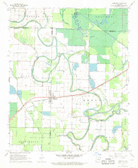
1967 Map of Humphrey
USGS Topo · Published 1969About this map
Humphrey sits at the intersection of three counties, anchoring a low-lying landscape defined by complex hydrology and seasonal wetlands in the late 1960s. The St Louis Southwestern railroad cuts diagonally across the terrain, passing through the town and over Crooked Creek, which meanders through the central portions of the sheet. To the south, the Bayou Meto State Game Area covers a large expanse of the bottomlands, reflecting the region's importance for conservation and recreation.
Find a feature on this map
33 named features on this map. Tap any name to fly to it.
Don’t see what you’re looking for? This feature index may not catch every label — zoom into the map to look around manually.
Map Details
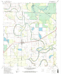
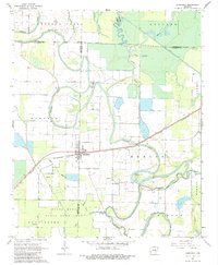
Editions of this 1967 Humphrey Map
3 editions found
Other maps of this area

1935 · Altheimer
USGS Topo · 1:62,500

1937 · Stuttgart
USGS Topo · 1:62,500

1937 · England
USGS Topo · 1:48,000

1939 · Stuttgart
USGS Topo · 1:62,500

1941 · Goldman
USGS Topo · 1:62,500

1943 · England
USGS Topo · 1:62,500

1948 · Helena
USGS Topo · 1:250,000

1950 · Helena
USGS Topo · 1:250,000

1955 · Helena
USGS Topo · 1:250,000

1959 · Helena
USGS Topo · 1:250,000