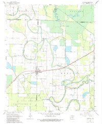
1967 Map of Humphrey
USGS Topo · Published 1984About this map
The town of Humphrey sits at the intersection of the St Louis Southwestern railroad and a landscape defined by intricate waterways at the junction of Lonoke, Jefferson, and Arkansas counties. The 1967 survey reveals a region managed for both agriculture and conservation, notably featuring the sprawling Bayou Meto State Game Area and the Dunnington BMSGA in the southern reaches. The geography is characterized by the winding path of Crooked Creek and the broader drainage of Bayou Meto, with landmarks like Glenwood Lake and the Gaging Station marking the hydraulic character of the Arkansas Delta. Rural life is anchored by local congregations such as Argo Chapel, Flynn Ch, and Bayou Meto Ch. The map also captures several distinct land tracts named Roberts, Belcher, Henton, and Morris, which reflect local landholding patterns in the mid-20th century.
Find a feature on this map
30 named features on this map. Tap any name to fly to it.
Don’t see what you’re looking for? This feature index may not catch every label — zoom into the map to look around manually.
Map Details
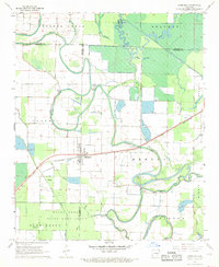
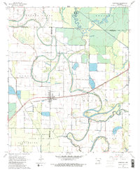
Editions of this 1967 Humphrey Map
3 editions found
Other maps of this area

1935 · Altheimer
USGS Topo · 1:62,500

1937 · Stuttgart
USGS Topo · 1:62,500

1937 · England
USGS Topo · 1:48,000

1939 · Stuttgart
USGS Topo · 1:62,500

1941 · Goldman
USGS Topo · 1:62,500

1943 · England
USGS Topo · 1:62,500

1948 · Helena
USGS Topo · 1:250,000

1950 · Helena
USGS Topo · 1:250,000

1955 · Helena
USGS Topo · 1:250,000

1959 · Helena
USGS Topo · 1:250,000