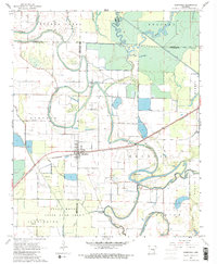
1967 Map of Humphrey
USGS Topo · Published 1984About this map
Humphrey sits at the nexus of the St Louis Southwestern railroad and the meandering channel of Crooked Creek in this late 1960s survey of the Arkansas Grand Prairie. The landscape is a study in agricultural engineering and natural drainage, where the intricate curves of Bayou Meto contrast with the straight lines of the Salt Bayou Ditch. This region serves as a critical habitat, evidenced by the expansive Bayou Meto State Game Area and designated management zones like Dunnington BMSGA.
Find a feature on this map
28 named features on this map. Tap any name to fly to it.
Don’t see what you’re looking for? This feature index may not catch every label — zoom into the map to look around manually.
Map Details
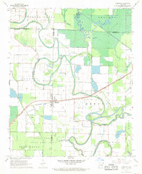
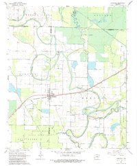
Editions of this 1967 Humphrey Map
3 editions found
Other maps of this area

1935 · Altheimer
USGS Topo · 1:62,500

1937 · Stuttgart
USGS Topo · 1:62,500

1937 · England
USGS Topo · 1:48,000

1939 · Stuttgart
USGS Topo · 1:62,500

1941 · Goldman
USGS Topo · 1:62,500

1943 · England
USGS Topo · 1:62,500

1948 · Helena
USGS Topo · 1:250,000

1950 · Helena
USGS Topo · 1:250,000

1955 · Helena
USGS Topo · 1:250,000

1959 · Helena
USGS Topo · 1:250,000