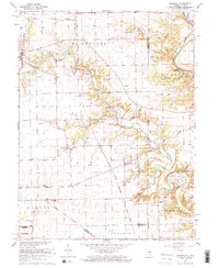
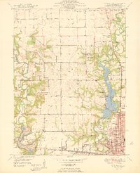
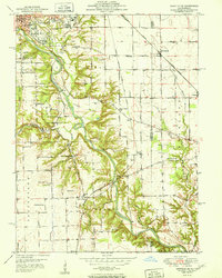
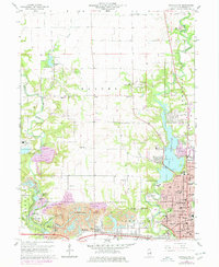
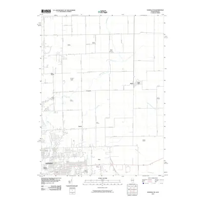
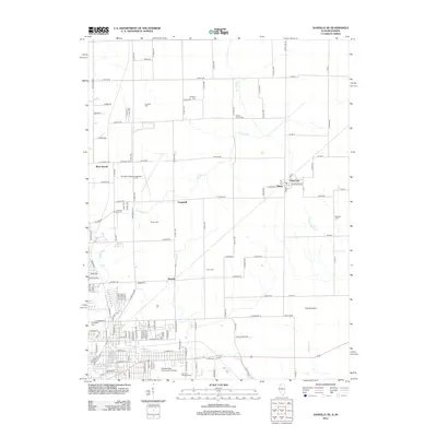
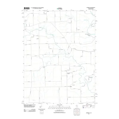
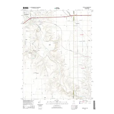
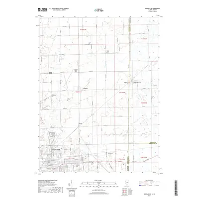
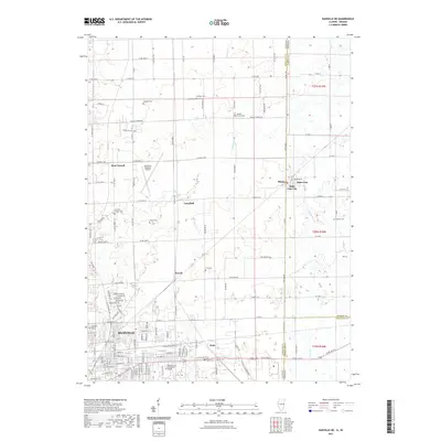
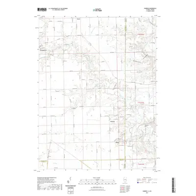
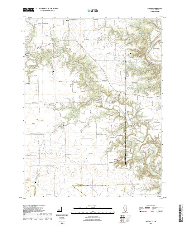
1965 Map of Humrick
USGS Topo · Published 1967About this map
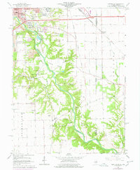
The Old Indian Treaty Boundary cuts diagonally through this landscape on the Illinois-Indiana border, marking a historic line of demarcation that precedes the established township grids. The area is defined by the winding course of the Vermilion River and Little Vermilion River, which carve through terrain features like Devils Backbone and Deadmans Hollow. A strong rail presence is evident through the mid-1960s, with tracks of the Chicago Milwaukee St Paul and Pacific and the Norfolk and Western converging near the small settlement of Humrick.
Find a feature on this map
42 named features on this map. Tap any name to fly to it.
Don’t see what you’re looking for? This feature index may not catch every label — zoom into the map to look around manually.
Map Details
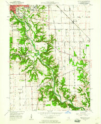
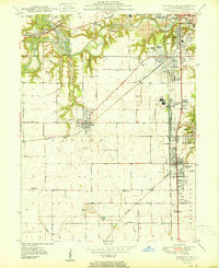
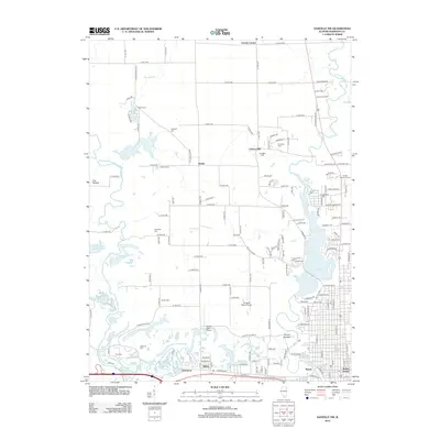
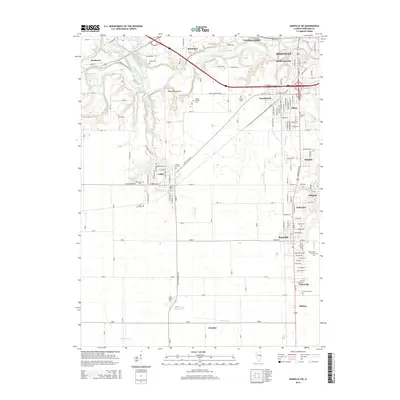
Editions of this 1965 Humrick Map
2 editions found
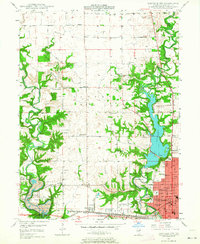
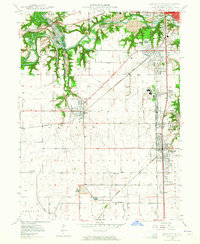
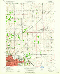
Historical Maps of Georgetown Through Time
48 maps found
1948 Danville NW
Vermilion County, IL
1949 Danville SW
Vermilion County, IL
1950 Danville NE
Vermilion County, IL
1950 Danville NW
Vermilion County, IL
1950 Danville SE
Vermilion County, IL
1950 Danville SW
Vermilion County, IL
1951 Danville NE
Vermilion County, IL
1951 Danville SE
Vermilion County, IL
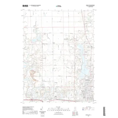
1955 Humrick
Vermilion County, IL
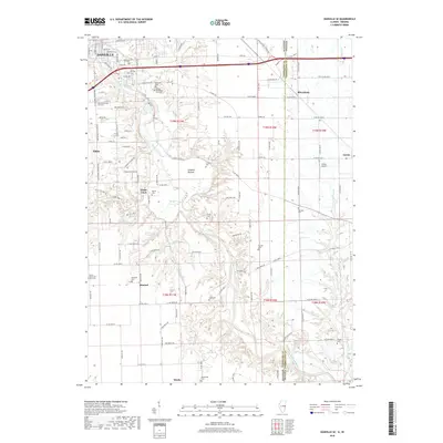
1965 Humrick
Vermilion County, IL
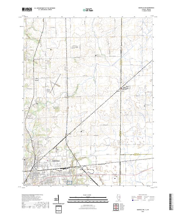
1966 Danville NE
Vermilion County, IL
1966 Danville NW
Vermilion County, IL
1966 Danville SE
Vermilion County, IL
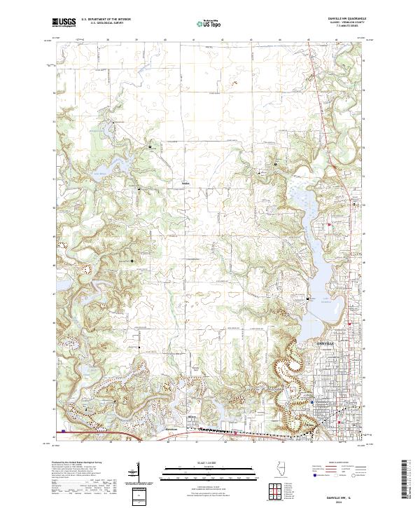
1966 Danville SW
Vermilion County, IL
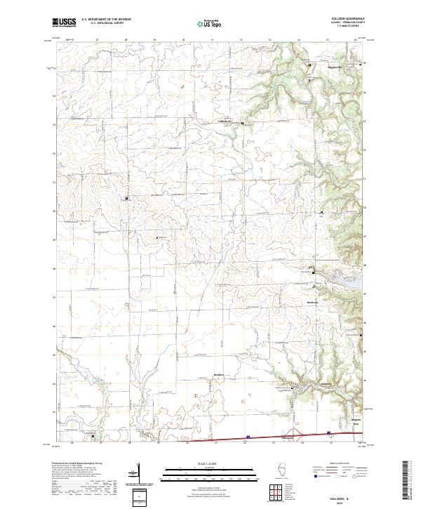
1968 Collison
Vermilion County, IL
2010 Danville NE
Vermilion County, IL
2010 Danville SE
Vermilion County, IL
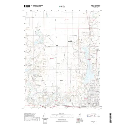
2010 Humrick
Vermilion County, IL
2012 Collison
Vermilion County, IL
2012 Danville NE
Vermilion County, IL
2012 Danville NW
Vermilion County, IL
2012 Danville SE
Vermilion County, IL
2012 Danville SW
Vermilion County, IL
2012 Humrick
Vermilion County, IL
2015 Collison
Vermilion County, IL
2015 Danville NE
Vermilion County, IL
2015 Danville NW
Vermilion County, IL
2015 Danville SE
Vermilion County, IL
2015 Danville SW
Vermilion County, IL
2015 Humrick
Vermilion County, IL
2018 Collison
Vermilion County, IL
2018 Danville NE
Vermilion County, IL
2018 Danville NW
Vermilion County, IL
2018 Danville SE
Vermilion County, IL

2018 Danville SW
Vermilion County, IL

2018 Humrick
Vermilion County, IL
2021 Collison
Vermilion County, IL
2021 Danville NE
Vermilion County, IL
2021 Danville NW
Vermilion County, IL
2021 Danville SE
Vermilion County, IL
2021 Danville SW
Vermilion County, IL
2021 Humrick
Vermilion County, IL
2024 Collison
Vermilion County, IL
2024 Danville NE
Vermilion County, IL
2024 Danville NW
Vermilion County, IL
2024 Danville SE
Vermilion County, IL
2024 Danville SW
Vermilion County, IL
2024 Humrick
Vermilion County, IL