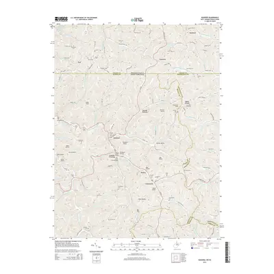
2014 Map of Hundred
USGS Topo · Published 2014About this map
Hundred serves as the central hub for this corner of Wetzel County, situated at the junction of the W Virginia Fork Fish Cr and Church Fork. The local landscape is defined by deep hollows and prominent rises such as Lough Knob and Hon socker Knob. Historic transportation infrastructure is well-documented here, featuring the Marshall Tunnel and Soles Tunnel, alongside two notable spans: the Fish Creek Covered Bridge and the Hundred Cover Bridge. These structures illustrate the engineering required to navigate the area's intricate drainage systems, which include Pigeon Run, Styles Run, and Rush Run.
Find a feature on this map
104 named features on this map. Tap any name to fly to it.
Don’t see what you’re looking for? This feature index may not catch every label — zoom into the map to look around manually.
Map Details
Editions of this 2014 Hundred Map
This is the sole edition of this map. No revisions or reprints were ever made.
Other maps of this area

1903 · Littleton
USGS Topo · 1:62,500

1904 · Cameron
USGS Topo · 1:62,500

1905 · Mannington
USGS Topo · 1:62,500

1905 · Rogersville
USGS Topo · 1:62,500

1905 · Littleton
USGS Topo · 1:62,500

1923 · Mannington
USGS Topo · 1:62,500

1924 · Littleton
USGS Topo · 1:62,500

1926 · Littleton
USGS Topo · 1:62,500

1926 · Mannington
USGS Topo · 1:62,500

1935 · Cameron
USGS Topo · 1:62,500