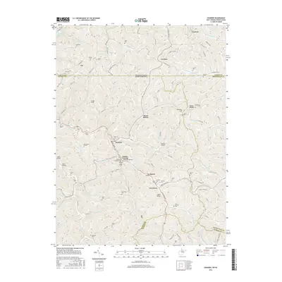
2016 Map of Hundred
USGS Topo · Published 2016About this map
The town of Hundred serves as the central hub of this northern West Virginia landscape, where the West Virginia Fork Fish Creek meets Church Fork. The area is defined by a dense network of ridge roads and hollows, reflecting a legacy of small-scale settlement and family homesteads. The map highlights specific civil engineering landmarks from a bygone era, notably the Fish Creek Covered Bridge and the Hundred Cover Bridge near Cusicks Crossing.
Find a feature on this map
106 named features on this map. Tap any name to fly to it.
Don’t see what you’re looking for? This feature index may not catch every label — zoom into the map to look around manually.
Map Details
Editions of this 2016 Hundred Map
This is the sole edition of this map. No revisions or reprints were ever made.
Other maps of this area

1903 · Littleton
USGS Topo · 1:62,500

1904 · Cameron
USGS Topo · 1:62,500

1905 · Mannington
USGS Topo · 1:62,500

1905 · Rogersville
USGS Topo · 1:62,500

1905 · Littleton
USGS Topo · 1:62,500

1923 · Mannington
USGS Topo · 1:62,500

1924 · Littleton
USGS Topo · 1:62,500

1926 · Littleton
USGS Topo · 1:62,500

1926 · Mannington
USGS Topo · 1:62,500

1935 · Cameron
USGS Topo · 1:62,500