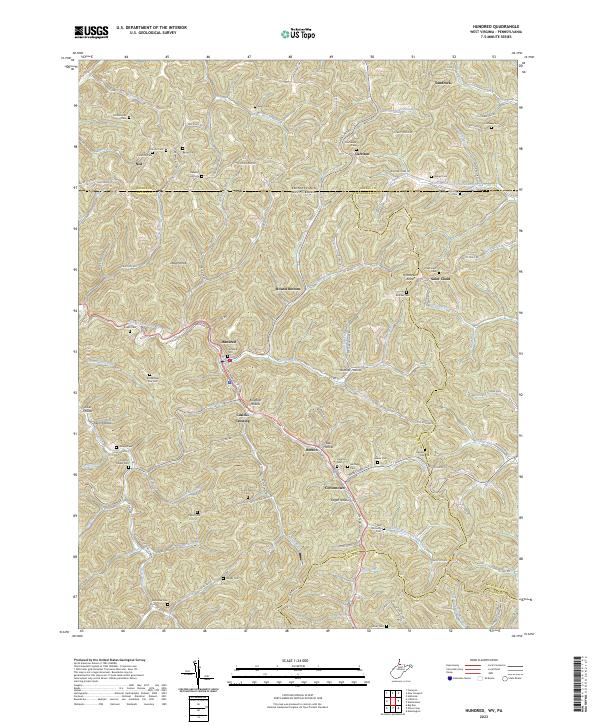
2023 Map of Hundred
USGS Topo · Published 2023About this map
Hundred and the surrounding borderlands of Wetzel County define this landscape, where narrow valleys and prominent ridges like Lough Knob dictate the flow of transportation and community life. The convergence of the West Virginia Fork Fish Creek and Church Fork provides the geographic anchor for settlements such as Burton and Cottontown. The era of steam is preserved in the local infrastructure through Railroad St and the modern transformation of the East Wetzel Rail-Trl, which follows the historic corridor through Cusicks Crossing.
Find a feature on this map
122 named features on this map. Tap any name to fly to it.
Don’t see what you’re looking for? This feature index may not catch every label — zoom into the map to look around manually.
Map Details
Editions of this 2023 Hundred Map
This is the sole edition of this map. No revisions or reprints were ever made.
Other maps of this area

1903 · Littleton
USGS Topo · 1:62,500

1904 · Cameron
USGS Topo · 1:62,500

1905 · Mannington
USGS Topo · 1:62,500

1905 · Rogersville
USGS Topo · 1:62,500

1905 · Littleton
USGS Topo · 1:62,500

1923 · Mannington
USGS Topo · 1:62,500

1924 · Littleton
USGS Topo · 1:62,500

1926 · Littleton
USGS Topo · 1:62,500

1926 · Mannington
USGS Topo · 1:62,500

1935 · Cameron
USGS Topo · 1:62,500