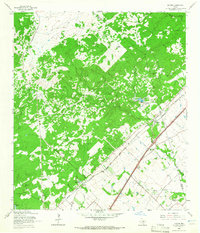
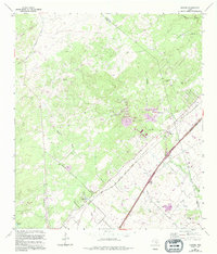
1964 Map of Hunter
USGS Topo · Published 1965About this map
Small rural settlements and agricultural interests dominate this mid-1960s landscape near the Hays Co Comal Co boundary. The small community of Hunter serves as a focal point, situated at the junction of the Missouri Kansas Texas and Missouri Pacific railroads. The topography transitions from the lower elevations near the Guadalupe River to notable rises like Bading Hill and Trunk Hill, illustrating the character of the Texas Hill Country transition.
Find a feature on this map
29 named features on this map. Tap any name to fly to it.
Don’t see what you’re looking for? This feature index may not catch every label — zoom into the map to look around manually.
Map Details
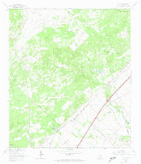
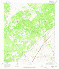
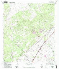
Editions of this 1964 Hunter Map
5 editions found
Other maps of this area
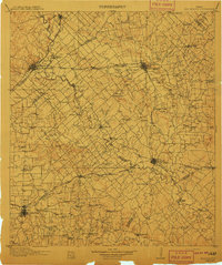
1911 · San Marcos
USGS Topo · 1:125,000
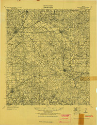
1919 · San Marcos
USGS Topo · 1:125,000
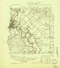
1925 · New Braunfels No 1
USGS Topo · 1:48,000
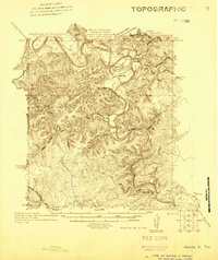
1925 · Hunter No 3
USGS Topo · 1:48,000
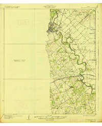
1927 · New Braunfels
USGS Topo · 1:62,500
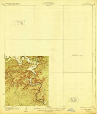
1929 · Hunter
USGS Topo · 1:62,500
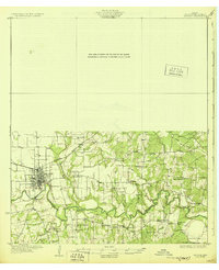
1930 · Seguin
USGS Topo · 1:62,500

1953 · Seguin
USGS Topo · 1:250,000

1954 · San Antonio
USGS Topo · 1:250,000
1957 · San Antonio
USGS Topo · 1:250,000