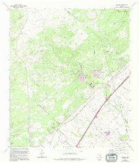
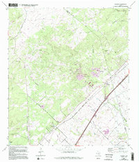
1964 Map of Hunter
USGS Topo · Published 1994About this map
The Missouri Pacific railroad corridor anchors this survey of central Texas, tracing a path through the settlement of Hunter and the rolling terrain between the San Marcos and New Braunfels corporate boundaries. The landscape is a network of family and community history, evidenced by several small burial grounds including Rosenthal Cem, York Creek Cem, and Kellermann Cem. These sites, along with the Circle Dot Ranch, reflect a rural Texas economy transitioning from traditional ranching to mid-century industrial utility.
Find a feature on this map
37 named features on this map. Tap any name to fly to it.
Don’t see what you’re looking for? This feature index may not catch every label — zoom into the map to look around manually.
Map Details
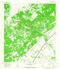
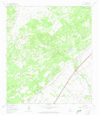
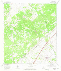
Editions of this 1964 Hunter Map
5 editions found
Other maps of this area

1911 · San Marcos
USGS Topo · 1:125,000

1919 · San Marcos
USGS Topo · 1:125,000

1925 · New Braunfels No 1
USGS Topo · 1:48,000

1925 · Hunter No 3
USGS Topo · 1:48,000

1927 · New Braunfels
USGS Topo · 1:62,500

1929 · Hunter
USGS Topo · 1:62,500

1930 · Seguin
USGS Topo · 1:62,500

1953 · Seguin
USGS Topo · 1:250,000

1954 · San Antonio
USGS Topo · 1:250,000

1957 · San Antonio
USGS Topo · 1:250,000