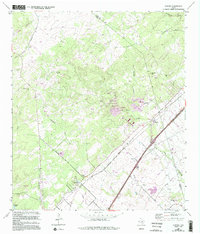
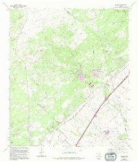
1964 Map of Hunter
USGS Topo · Published 1994About this map
Hunter and the neighboring settlement of New Hills occupy a landscape shaped by the Missouri Pacific railroad and a network of ephemeral creeks in the Texas Hill Country. This mid-century survey reveals a rural society anchored by family-named landmarks and several historic burial grounds, including the Rosenthal Cem, Kellermann Cem, and Conrads Cem. The terrain rises toward distinctive peaks like Coat Kiln Hill and Trunk Hill, while the lower elevations are marked by the Guadalupe River and numerous limestone-region features such as Big Mouth Cave. Development is sparse, concentrated near roads like Hoffmann Lane and Purgatory Road, reflecting an era of ranching and early quarrying before significant suburban expansion reached the Comal and Hays county lines.
Find a feature on this map
34 named features on this map. Tap any name to fly to it.
Don’t see what you’re looking for? This feature index may not catch every label — zoom into the map to look around manually.
Map Details
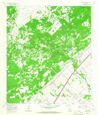
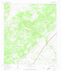
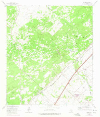
Editions of this 1964 Hunter Map
5 editions found
Other maps of this area

1911 · San Marcos
USGS Topo · 1:125,000

1919 · San Marcos
USGS Topo · 1:125,000

1925 · New Braunfels No 1
USGS Topo · 1:48,000

1925 · Hunter No 3
USGS Topo · 1:48,000

1927 · New Braunfels
USGS Topo · 1:62,500

1929 · Hunter
USGS Topo · 1:62,500

1930 · Seguin
USGS Topo · 1:62,500

1953 · Seguin
USGS Topo · 1:250,000

1954 · San Antonio
USGS Topo · 1:250,000

1957 · San Antonio
USGS Topo · 1:250,000