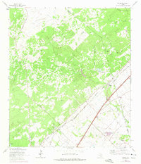
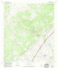
1964 Map of Hunter
USGS Topo · Published 1975About this map
The community of Hunter serves as a focal point for this landscape along the Comal and Hays county line, where the local economy and movement were defined by the parallel tracks of the Missouri Kansas Texas and Missouri Pacific railroads. The map reveals a high concentration of family and community burial grounds, including the Rosenthal Cem, York Creek Cem, and Kellermann Cem, which provide significant data points for genealogical research in this rural corridor.
Find a feature on this map
31 named features on this map. Tap any name to fly to it.
Don’t see what you’re looking for? This feature index may not catch every label — zoom into the map to look around manually.
Map Details
Editions of this 1964 Hunter Map
5 editions found
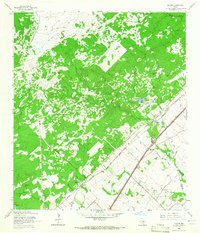
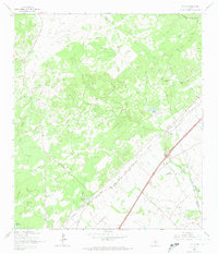
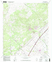
Other maps of this area

1911 · San Marcos
USGS Topo · 1:125,000

1919 · San Marcos
USGS Topo · 1:125,000

1925 · New Braunfels No 1
USGS Topo · 1:48,000

1925 · Hunter No 3
USGS Topo · 1:48,000

1927 · New Braunfels
USGS Topo · 1:62,500

1929 · Hunter
USGS Topo · 1:62,500

1930 · Seguin
USGS Topo · 1:62,500

1953 · Seguin
USGS Topo · 1:250,000

1954 · San Antonio
USGS Topo · 1:250,000

1957 · San Antonio
USGS Topo · 1:250,000