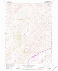
1962 Map of Hunter
USGS Topo · Published 1983About this map
The Adobe Range dominates this portion of Elko County, where the high desert terrain is carved by the complex drainage systems of Susie Creek and Dry Susie Creek. This 1962 survey, with revisions updated through the early 1980s, captures the vital transportation corridor following the Humboldt River valley. Both the Southern Pacific and Western Pacific railroads run parallel to the river, illustrating the historical significance of this pass for transcontinental rail travel. Near the settlement of Hunter, the map documents modern infrastructure developments such as the Hunter Interchange and a long-distance Pipeline. Higher elevations reveal a landscape used for navigation and resource extraction, marked by an Airway Beacon, several Prospects, and essential water sources like Upper Dry Susie Spring and East Adobe Creek.
Find a feature on this map
23 named features on this map. Tap any name to fly to it.
Don’t see what you’re looking for? This feature index may not catch every label — zoom into the map to look around manually.
Map Details
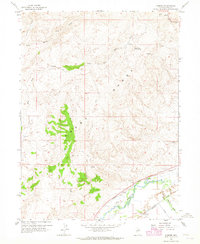
Editions of this 1962 Hunter Map
2 editions found
Other maps of this area

1952 · Dixie Flats
USGS Topo · 1:62,500

1952 · Carlin
USGS Topo · 1:62,500

1955 · Winnemucca
USGS Topo · 1:250,000

1955 · Elko
USGS Topo · 1:250,000

1957 · Elko West
USGS Topo · 1:24,000

1958 · Winnemucca
USGS Topo · 1:250,000

1958 · Elko
USGS Topo · 1:250,000

1958 · Hunter
USGS Topo · 1:24,000

1958 · Huntsman Ranch
USGS Topo · 1:24,000

1958 · Doby Summit
USGS Topo · 1:24,000