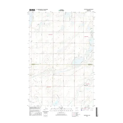
2016 Map of Huntersville
USGS Topo · Published 2016About this map
Huntersville and its surrounding wetlands occupy a central role in this 2016 survey, situated where the Shell River meets the larger Crow Wing River. This portion of central Minnesota is defined by a dense network of glacial lakes and river bends, with the Hubbard Co Wadena Co line bisecting the landscape. The river system here was historically vital for transit, and the map captures several significant water bodies including Big Stony Lake, Duck Lake, and Palmer Lake.
Find a feature on this map
60 named features on this map. Tap any name to fly to it.
Don’t see what you’re looking for? This feature index may not catch every label — zoom into the map to look around manually.
Map Details
Editions of this 2016 Huntersville Map
This is the sole edition of this map. No revisions or reprints were ever made.
Other maps of this area

1953 · Brainerd
USGS Topo · 1:250,000

1957 · Brainerd
USGS Topo · 1:250,000

1958 · Brainerd
USGS Topo · 1:250,000

1965 · Brainerd
USGS Topo · 1:250,000

1969 · Park Rapids
USGS Topo · 1:24,000

1969 · Menahga
USGS Topo · 1:24,000

1969 · Sebeka
USGS Topo · 1:24,000
1969 · Nimrod
USGS Topo · 1:24,000

1969 · Burgen Lake
USGS Topo · 1:24,000

1970 · Nevis
USGS Topo · 1:24,000