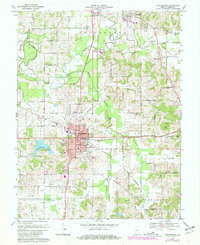
1969 Map of Huntingburg
USGS Topo · Published 1981About this map
Huntingburg serves as the industrial and civic anchor of this Dubois County landscape, where the southern rail lines of the Southern railroad intersect with the city's local infrastructure. By the late 1960s, the area's development was clearly marked by specialized landmarks such as the St Josephs Hospital, a cluster of kilns, and an active claypit that points to the region's historic brick or pottery industries. The town is surrounded by a dense network of water features including the Patoka River and Straight River to the north, while the Huntingburg Lake and Municipal Park provide recreational space for the growing community.
Find a feature on this map
43 named features on this map. Tap any name to fly to it.
Don’t see what you’re looking for? This feature index may not catch every label — zoom into the map to look around manually.
Map Details
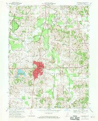
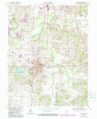
Editions of this 1969 Huntingburg Map
Other maps of this area

1900 · St Meinrad
USGS Topo · 1:62,500

1900 · De Gonia Springs
USGS Topo · 1:62,500

1902 · Ditney
USGS Topo · 1:125,000

1902 · Degonia Springs
USGS Topo · 1:62,500

1903 · St. Meinrad
USGS Topo · 1:62,500

1903 · Velpen
USGS Topo · 1:62,500

1946 · Jasper
USGS Topo · 1:24,000

1954 · Dubois
USGS Topo · 1:24,000

1954 · Huntingburg
USGS Topo · 1:24,000

1955 · Saint Anthony
USGS Topo · 1:24,000