
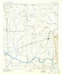
1892 Map of Huntsville
USGS Topo · Published 1892About this map
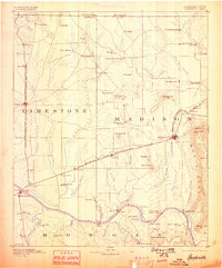
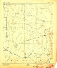
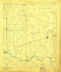
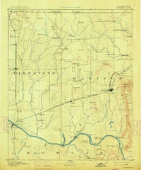
The Tennessee River serves as the southern anchor for this late 19th-century survey, where river traffic and early rail lines shaped the development of North Alabama. At this time, Huntsville was already established as a regional hub, linked to Athens and western points by the Memphis and Charleston Railroad. The map captures the social and industrial infrastructure of the era, from the health-resort era of the Monte Sano Hotel atop Monte Sano to the vital water-powered industry at Thompsons Mill and Keys Mill.
Find a feature on this map
113 named features on this map. Tap any name to fly to it.
Don’t see what you’re looking for? This feature index may not catch every label — zoom into the map to look around manually.
Map Details
Editions of this 1892 Huntsville Map
6 editions found
Other maps of this area

1885 · Gadsden
USGS Topo · 1:125,000

1888 · Cullman
USGS Topo · 1:125,000

1888 · Gadsden
USGS Topo · 1:125,000

1888 · Scottsboro
USGS Topo · 1:125,000

1888 · Huntsville
USGS Topo · 1:125,000

1892 · Cullman
USGS Topo · 1:125,000

1892 · Scottsboro
USGS Topo · 1:125,000

1892 · Gadsden
USGS Topo · 1:125,000

1895 · Gadsden
USGS Topo · 1:125,000

1903 · Gadsden
USGS Topo · 1:125,000